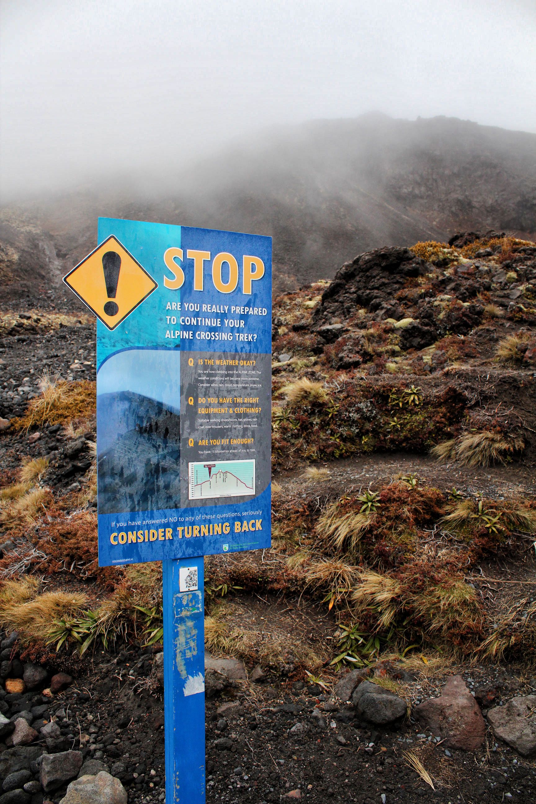
New Zealand has what they call nine “Great Walks”, and one of the most spectacular is the Tongariro Alpine Crossing, which is also one of the few that you can cover in a day (well, not all of it, but a pretty good portion). What made this 20 km walk so incredible were the sheer number of weather systems, climates, and types of vegetation you encounter throughout, which you’ll clearly see in the photos below.
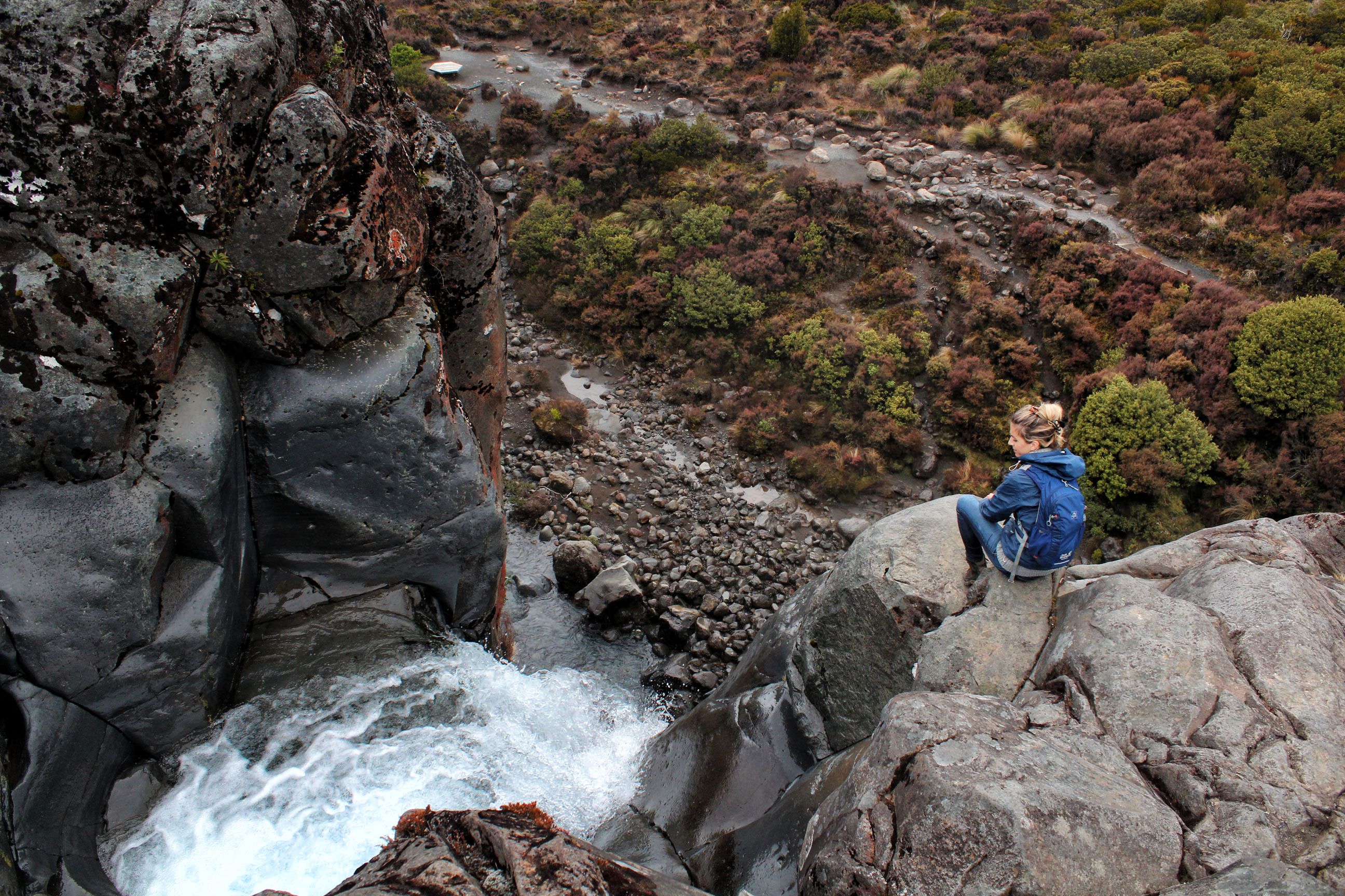
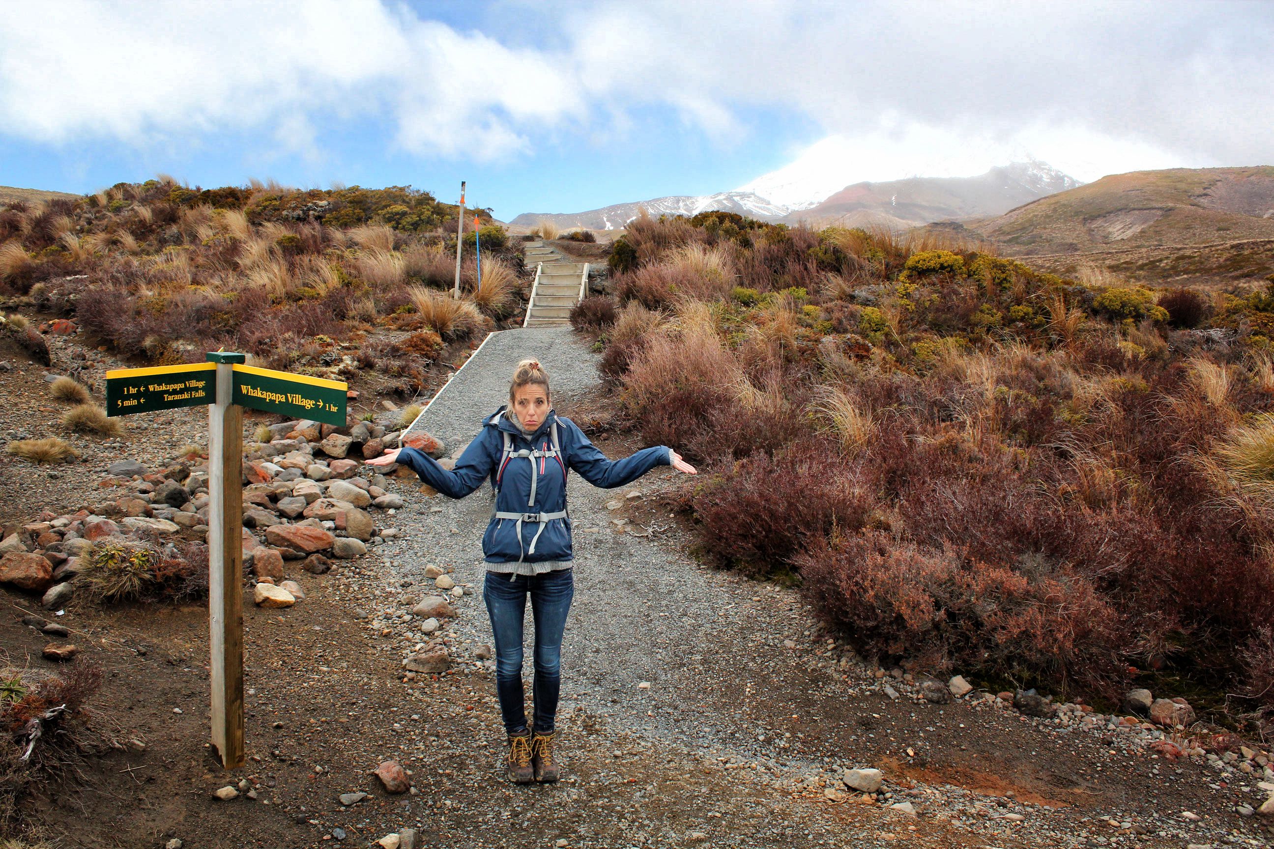
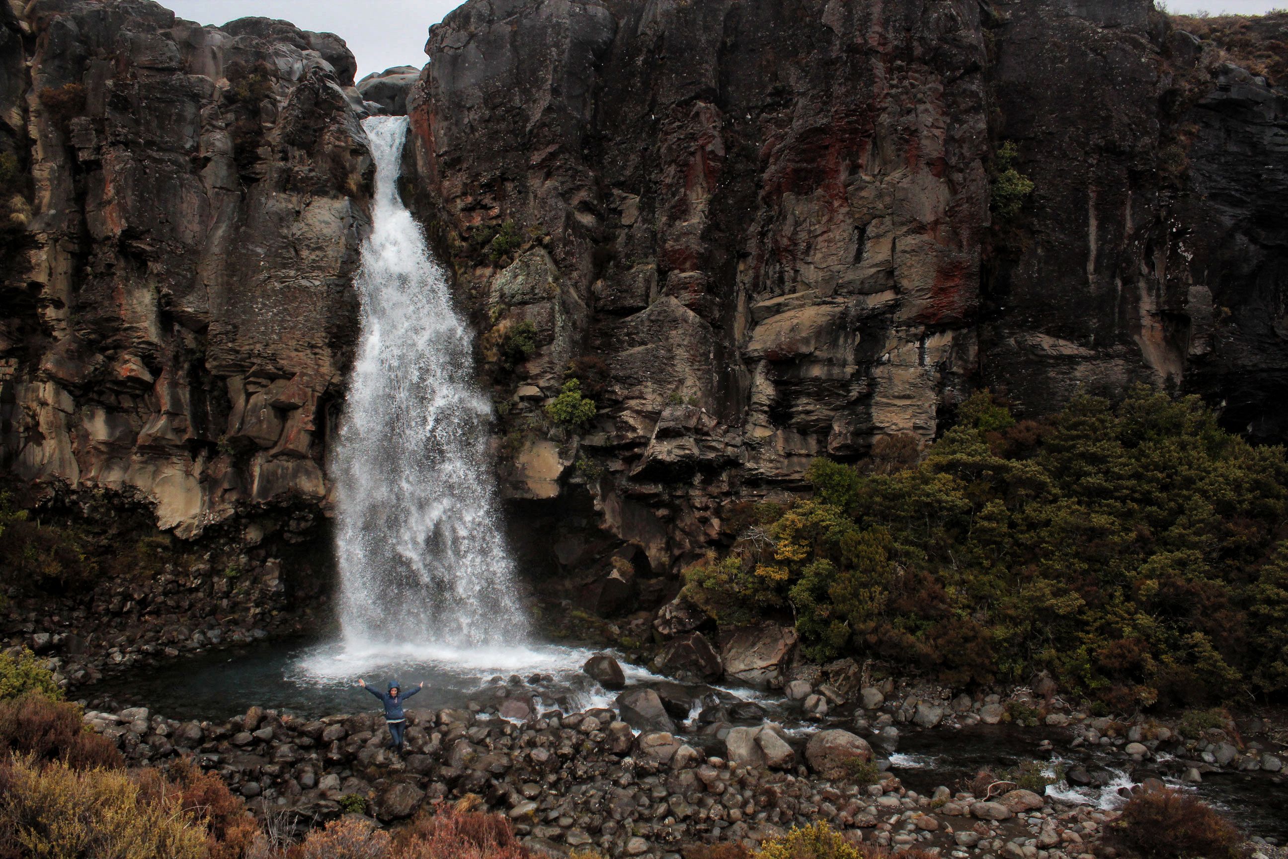
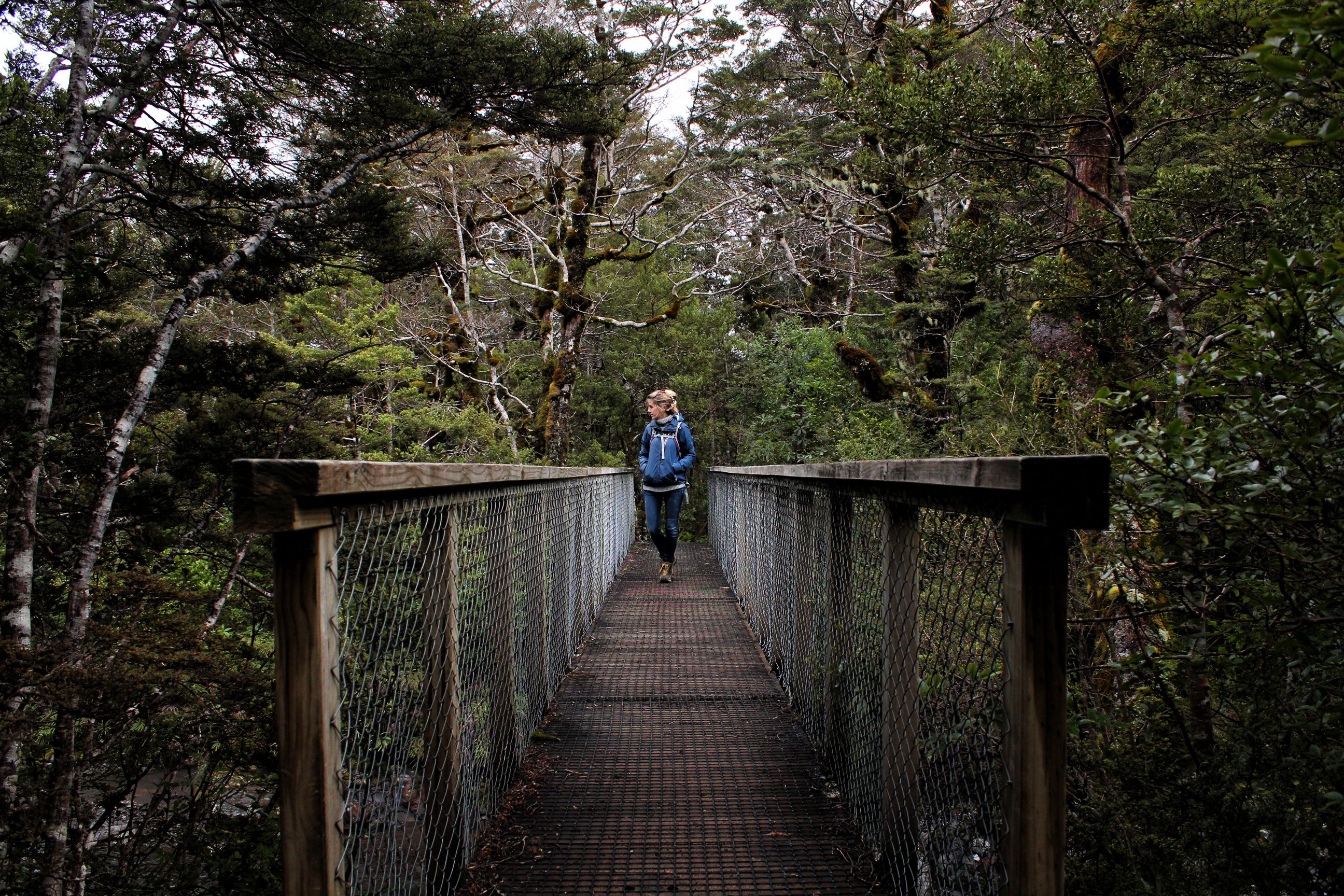
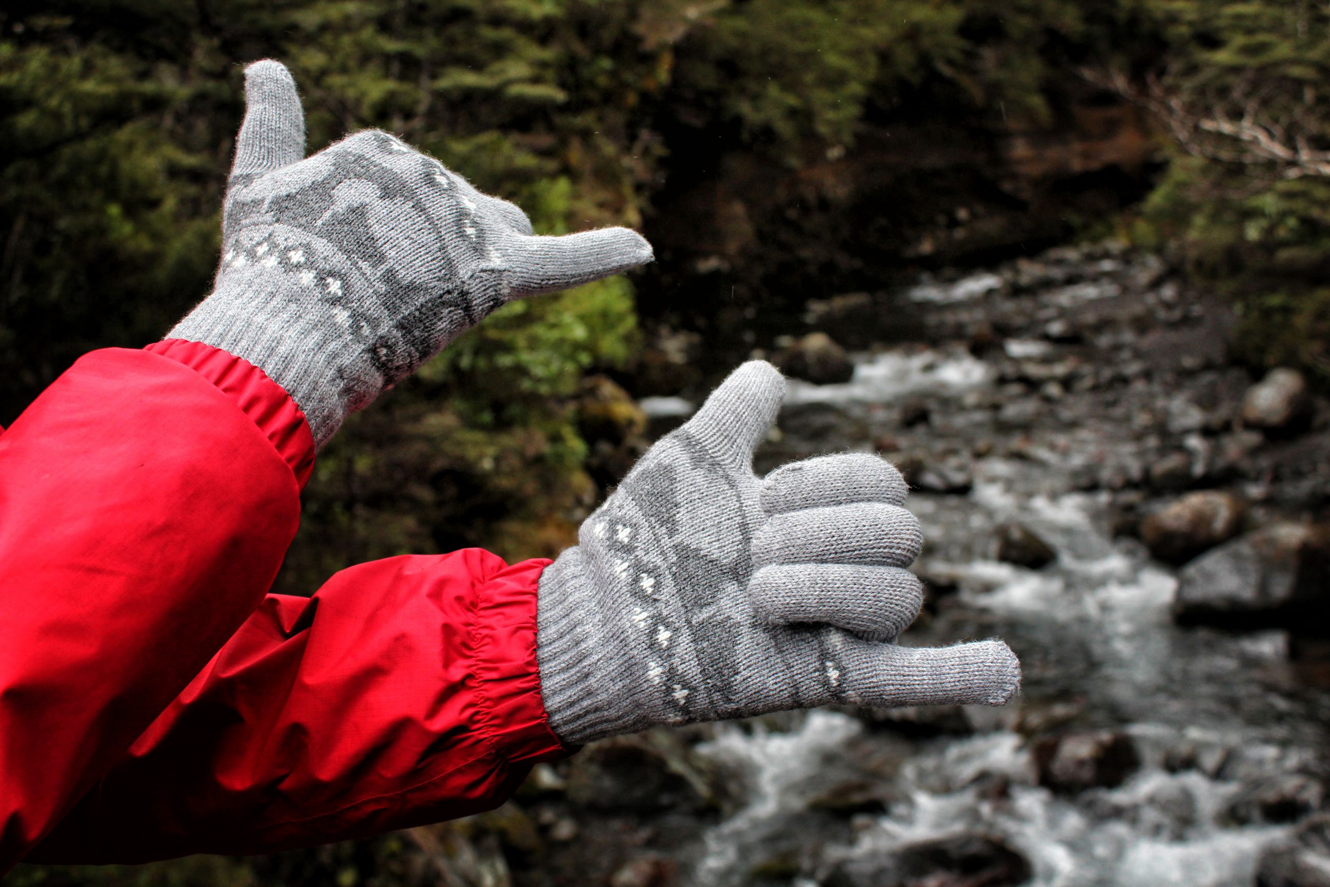
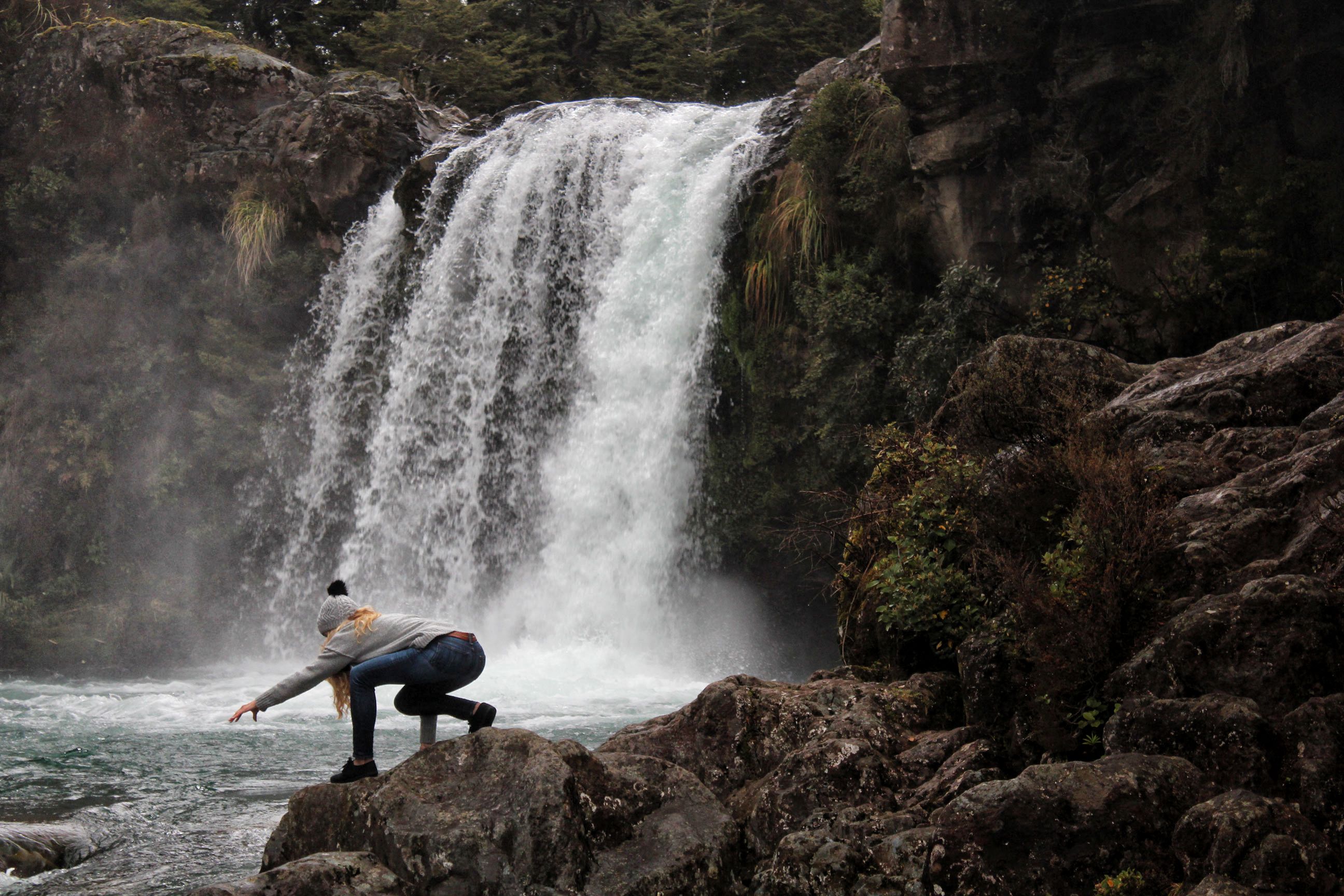
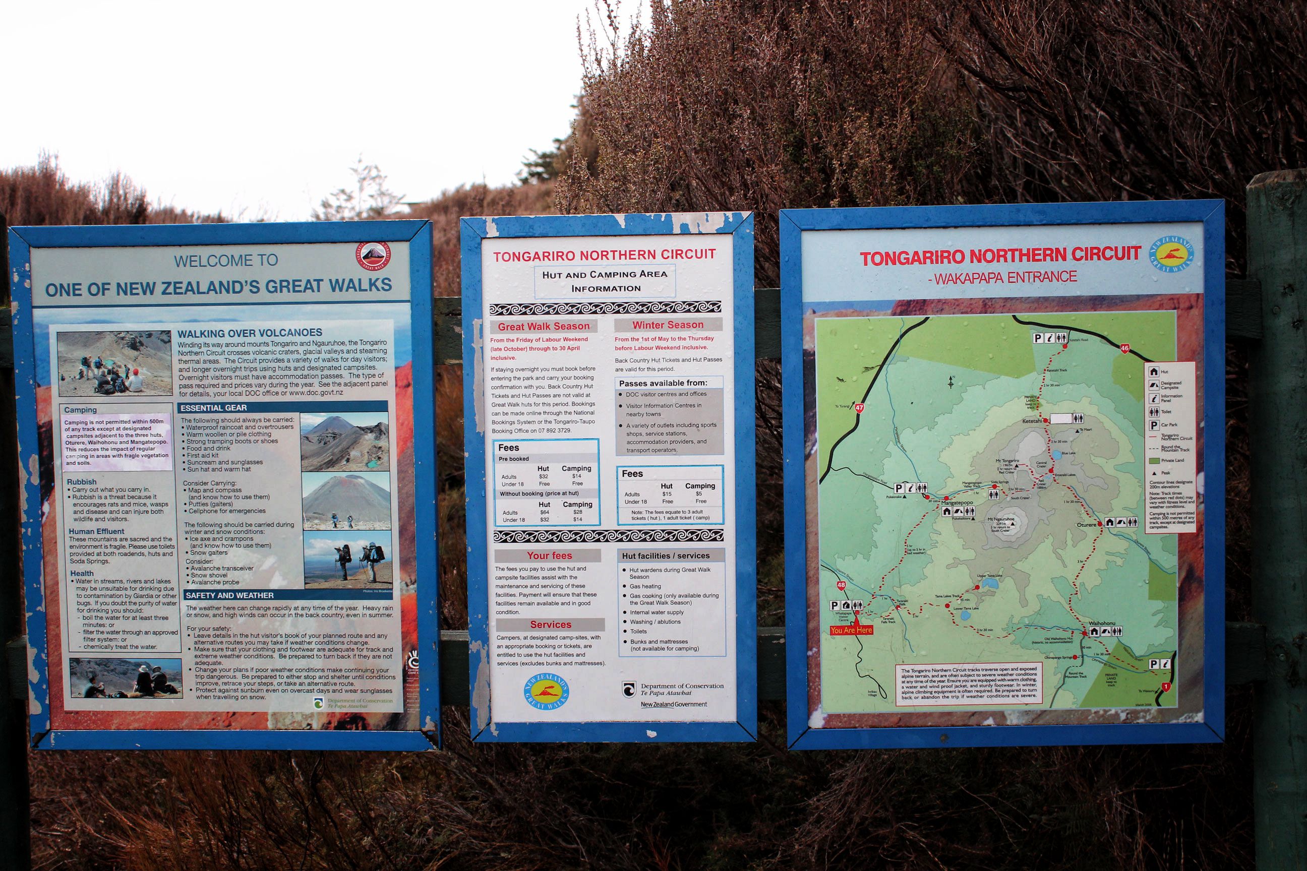
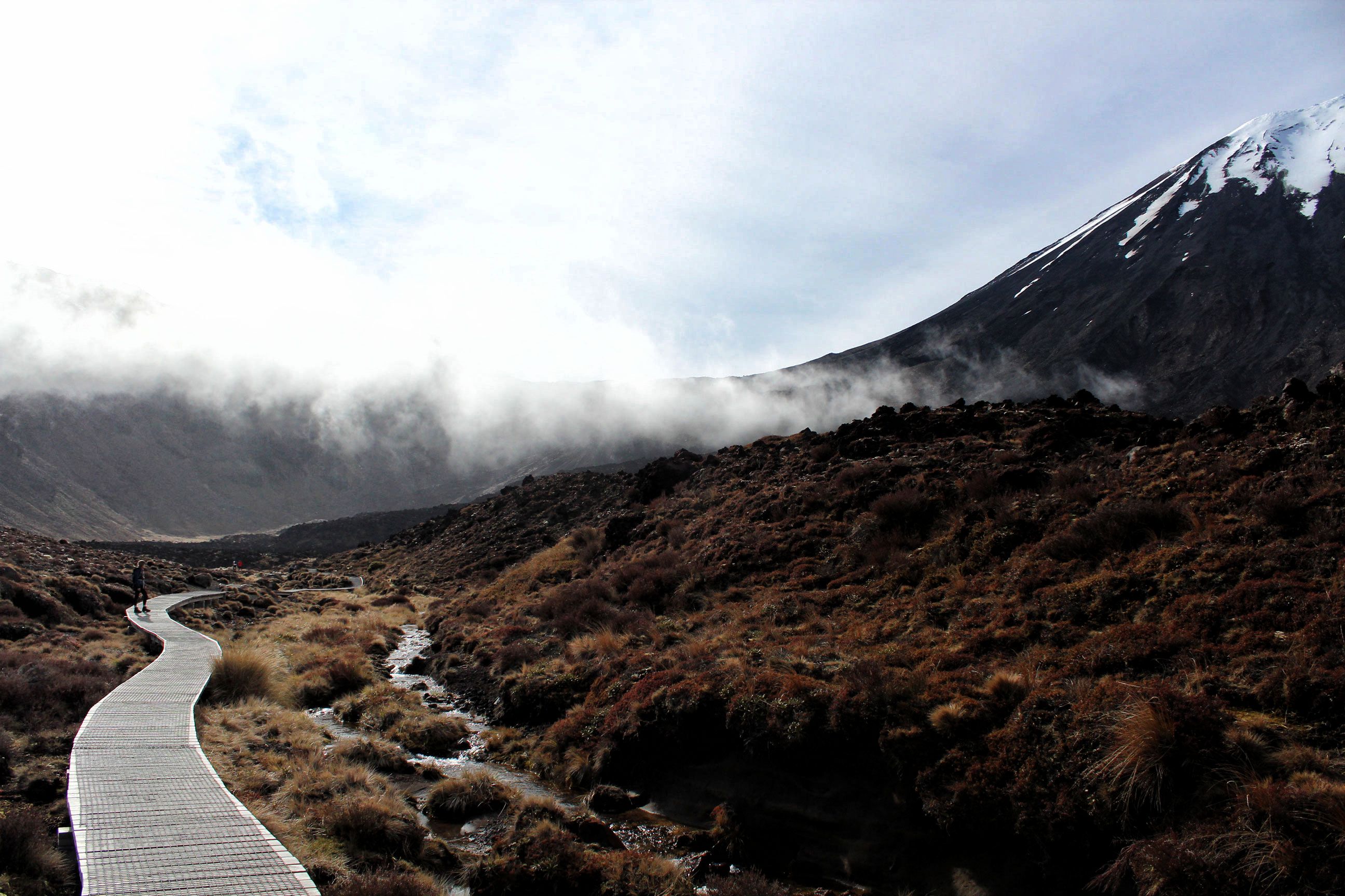
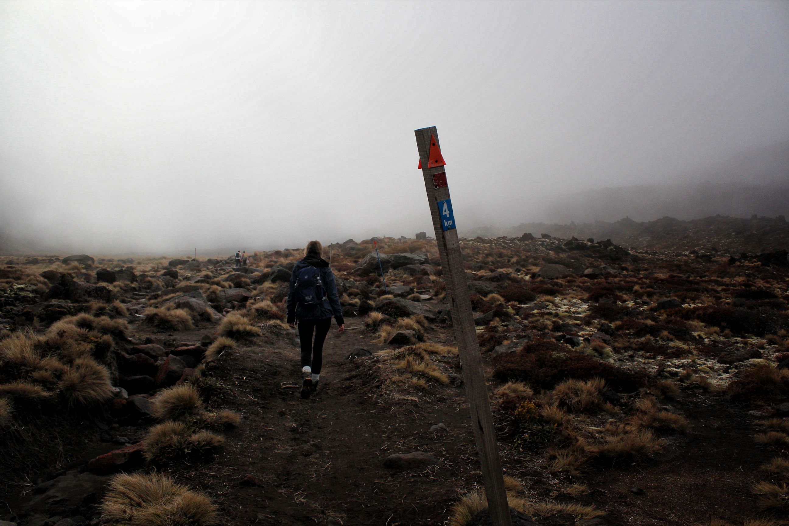
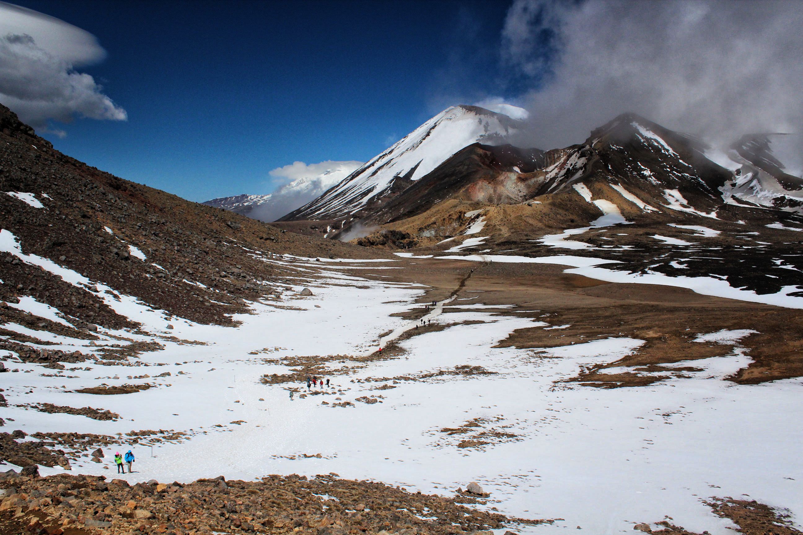
This photo was actually taken a couple of days before we did the crossing, on another portion of the trail. The weather wasn’t cooperative, so we waited it out by going on a smaller hike to the Taranaki FallsThe very instructive signage found along all the trails in New Zealand, in their famous green and yellow colours.Taranaki Falls from belowOne of the many bridges found along the trails around Tongariro National ParkI prepared for the hike by purchasing some high-tech weather protective gloves.Tawhai Falls, aka “Gollum’s Pool”.We stayed at the Adventure Lodge Motel, which we loved. It was family owned, and they treated us like one of their own. They even brought in breakfast every morning, which as you can see was excellent!The map and details for the hike. Exciting!The start of the hike, with Mount Ngauruhoe (a.k.a. Mount Doom) off to the right.At the 4 km mark, climbing just under the cloud line.
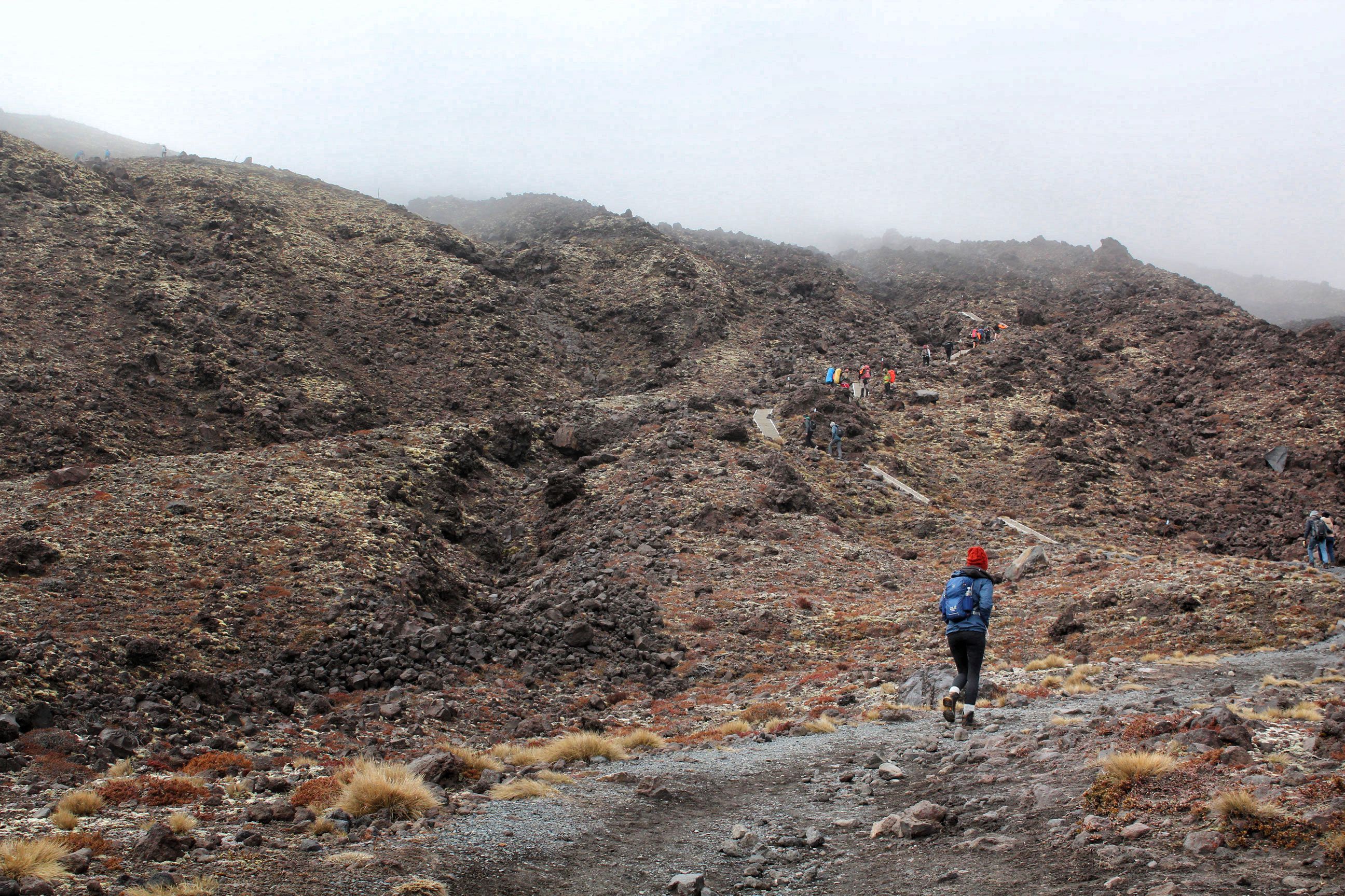
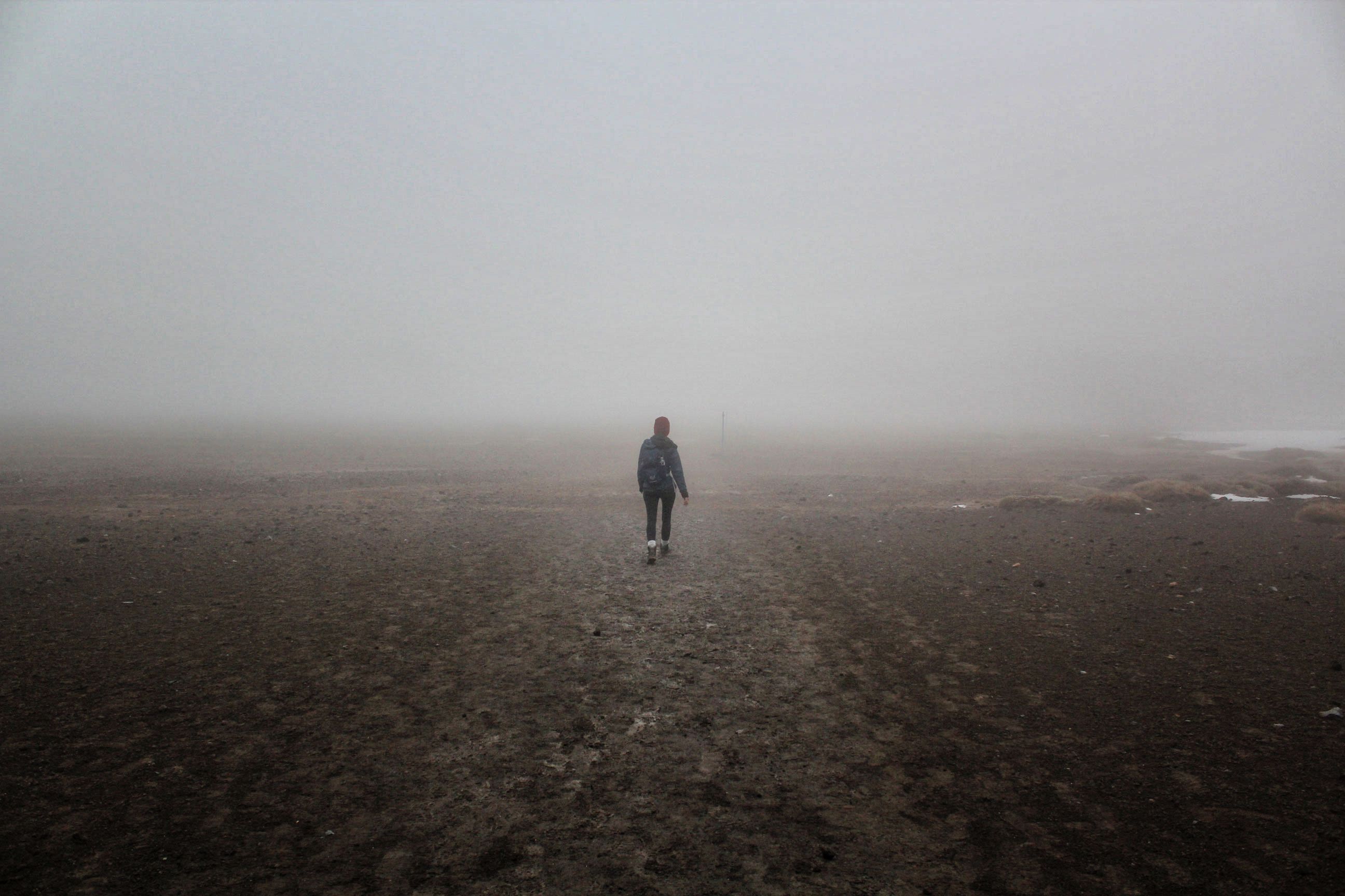
The Devil’s Staircase, which was a killer on the legs!In the clouds, where we couldn’t see a thing, but….…two minutes later we emerged from the cloud to beautiful blue sky. You can see the cloud that we emerged from in the background, with Mount Doom behind it.
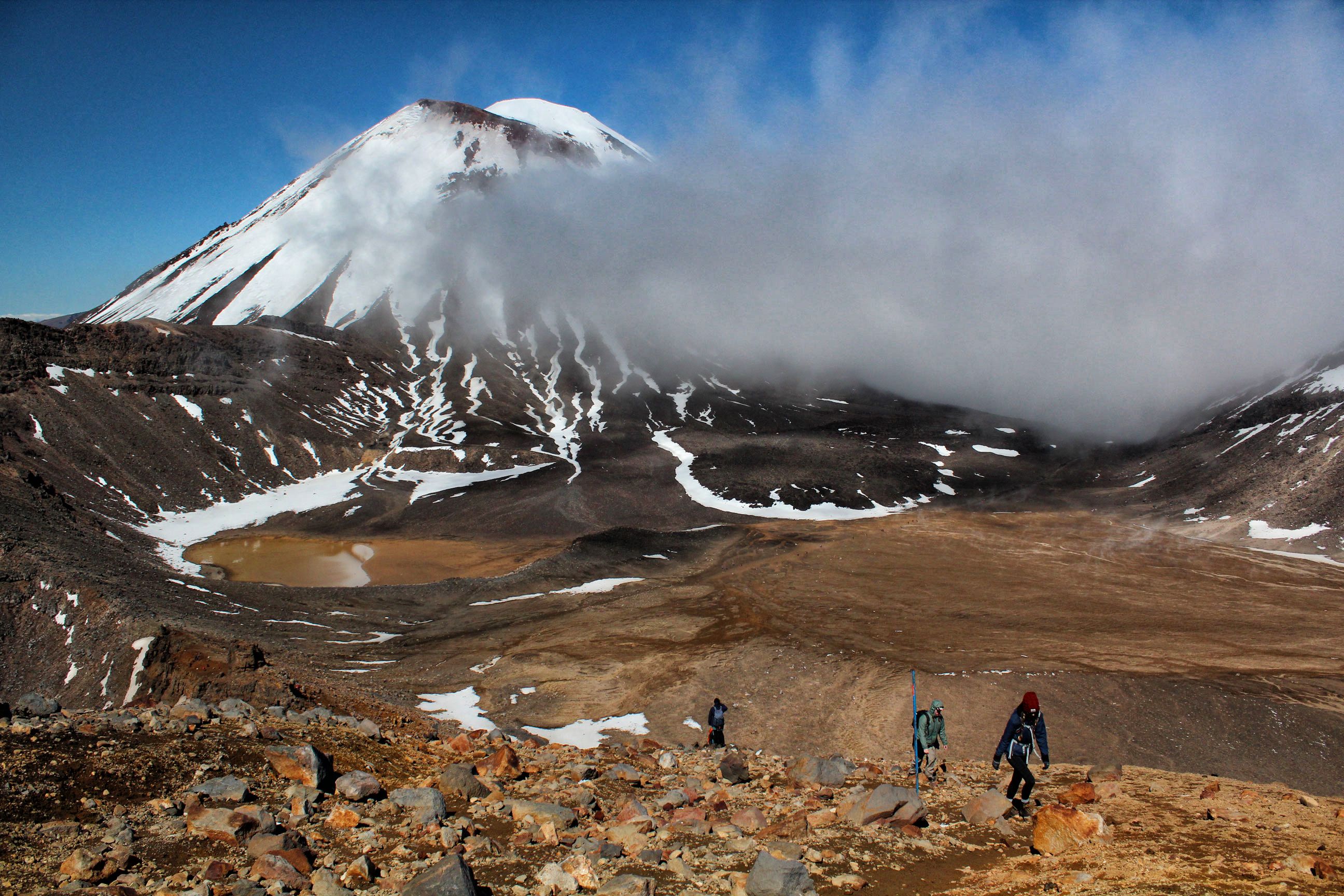
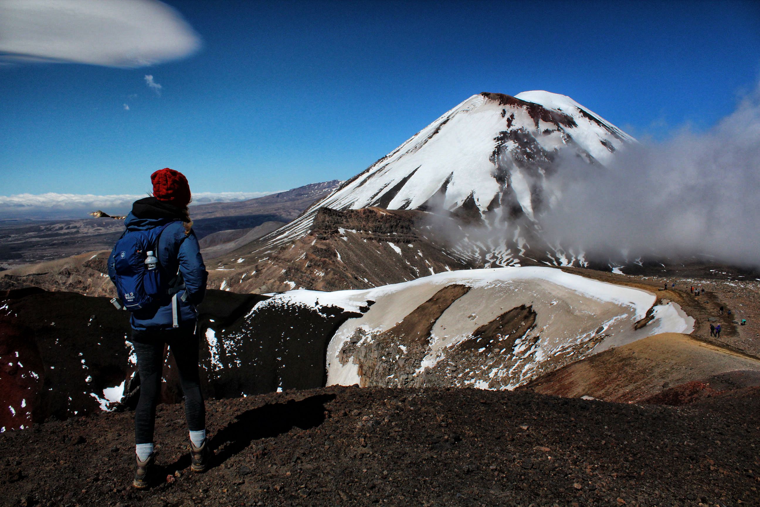
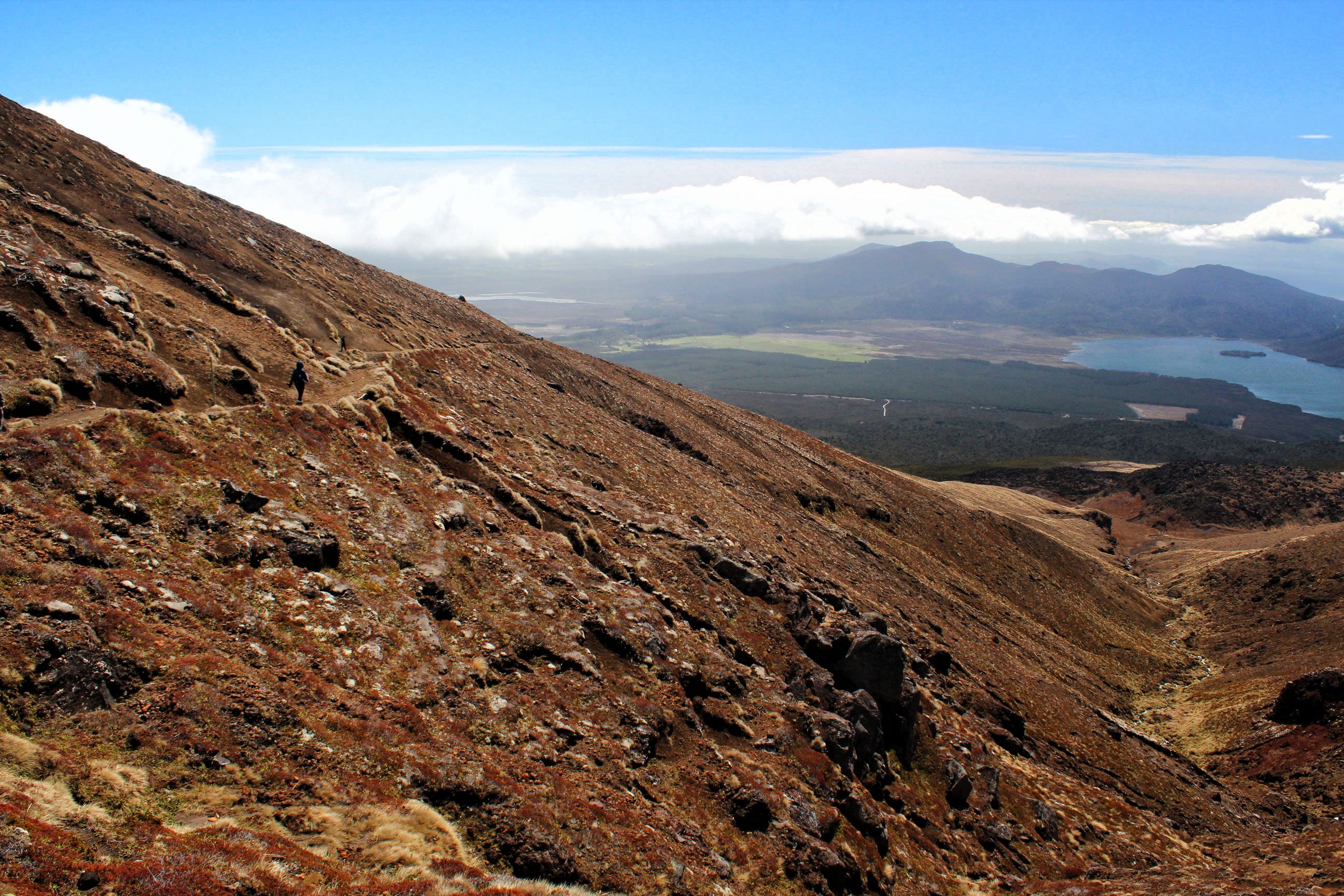
Nearing the top of the crossing, where we could see for miles.
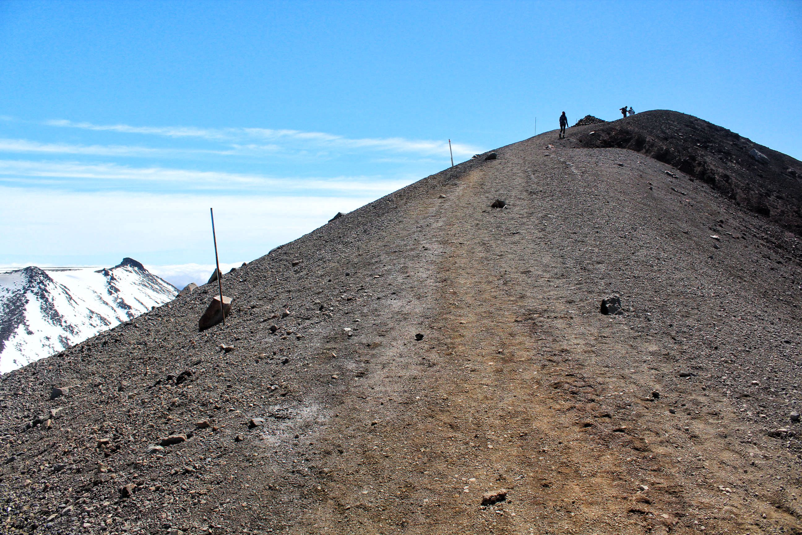
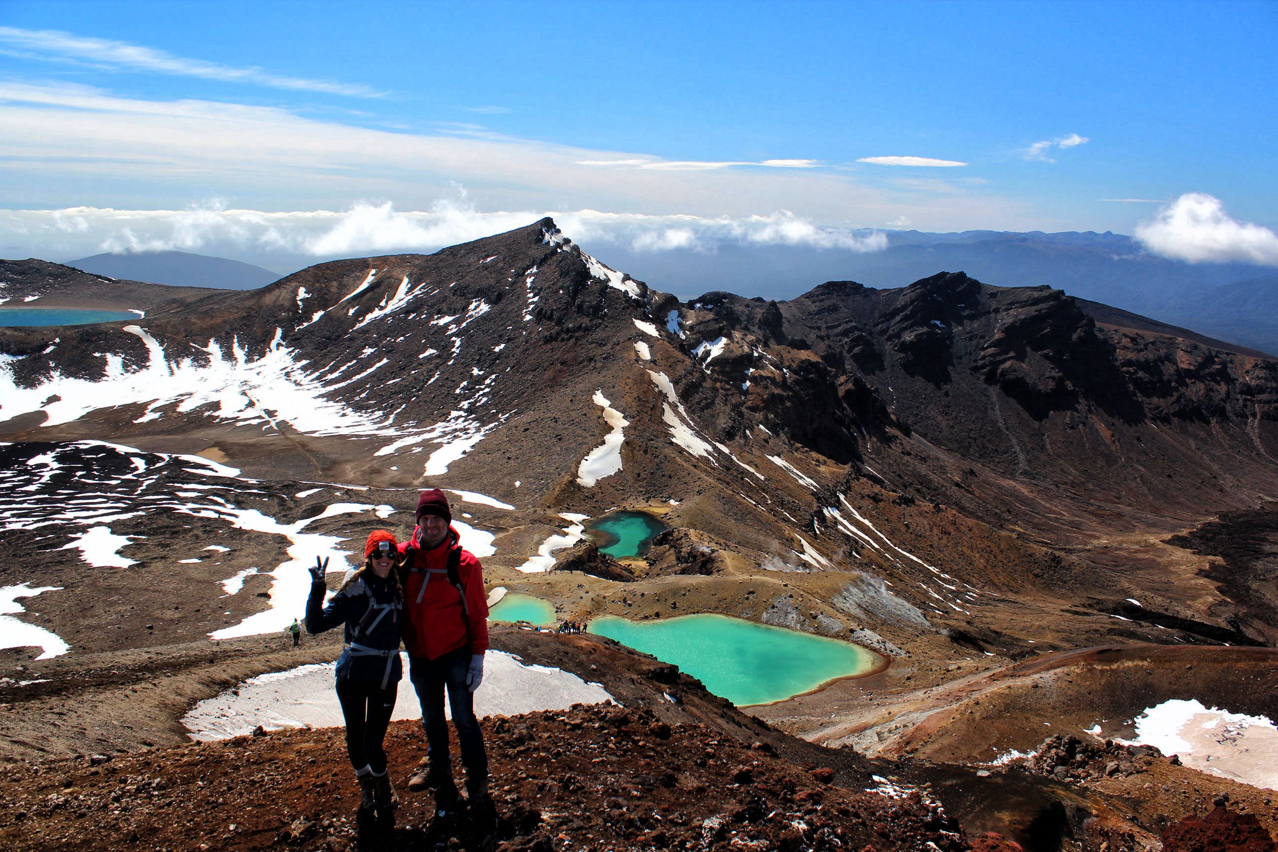
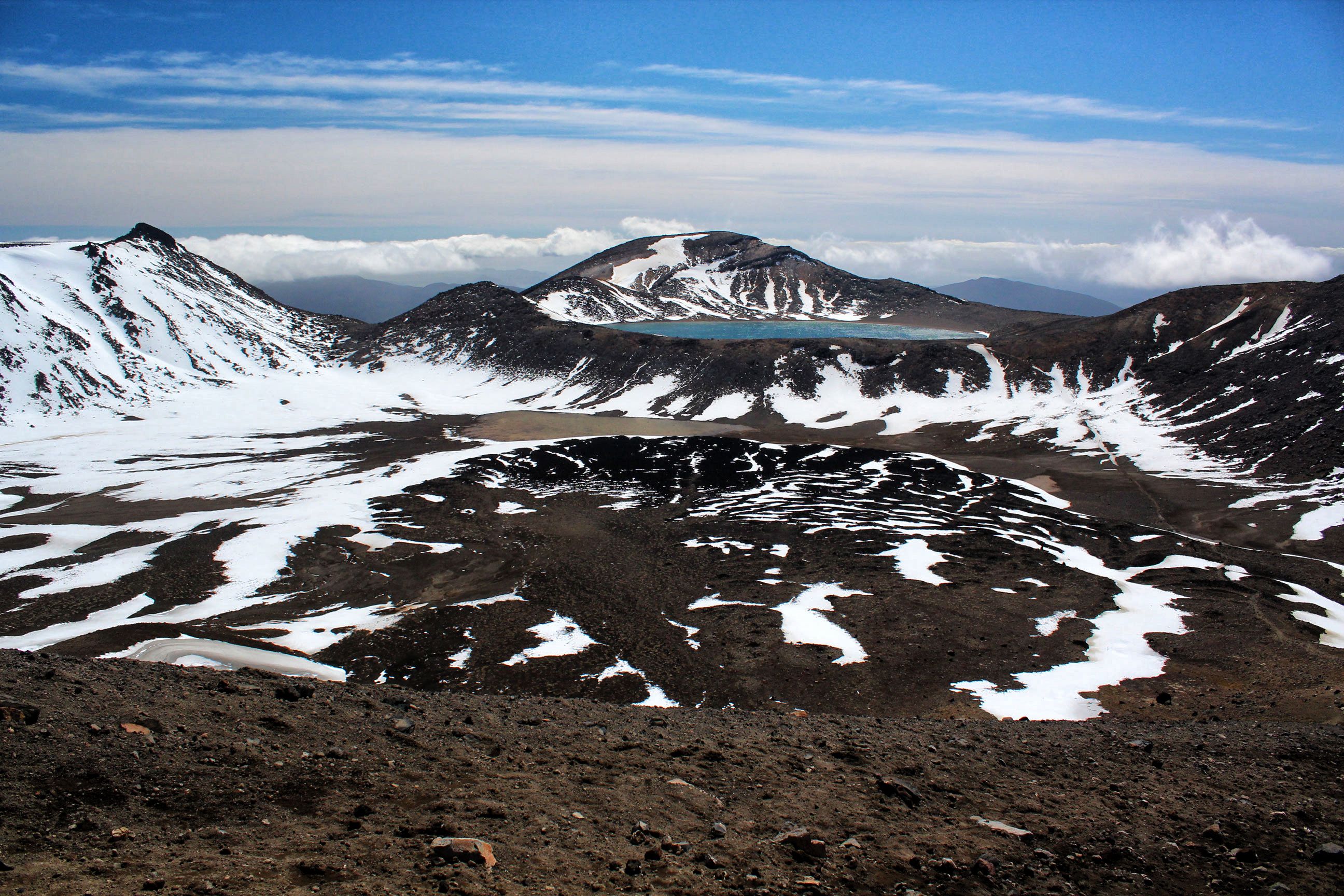
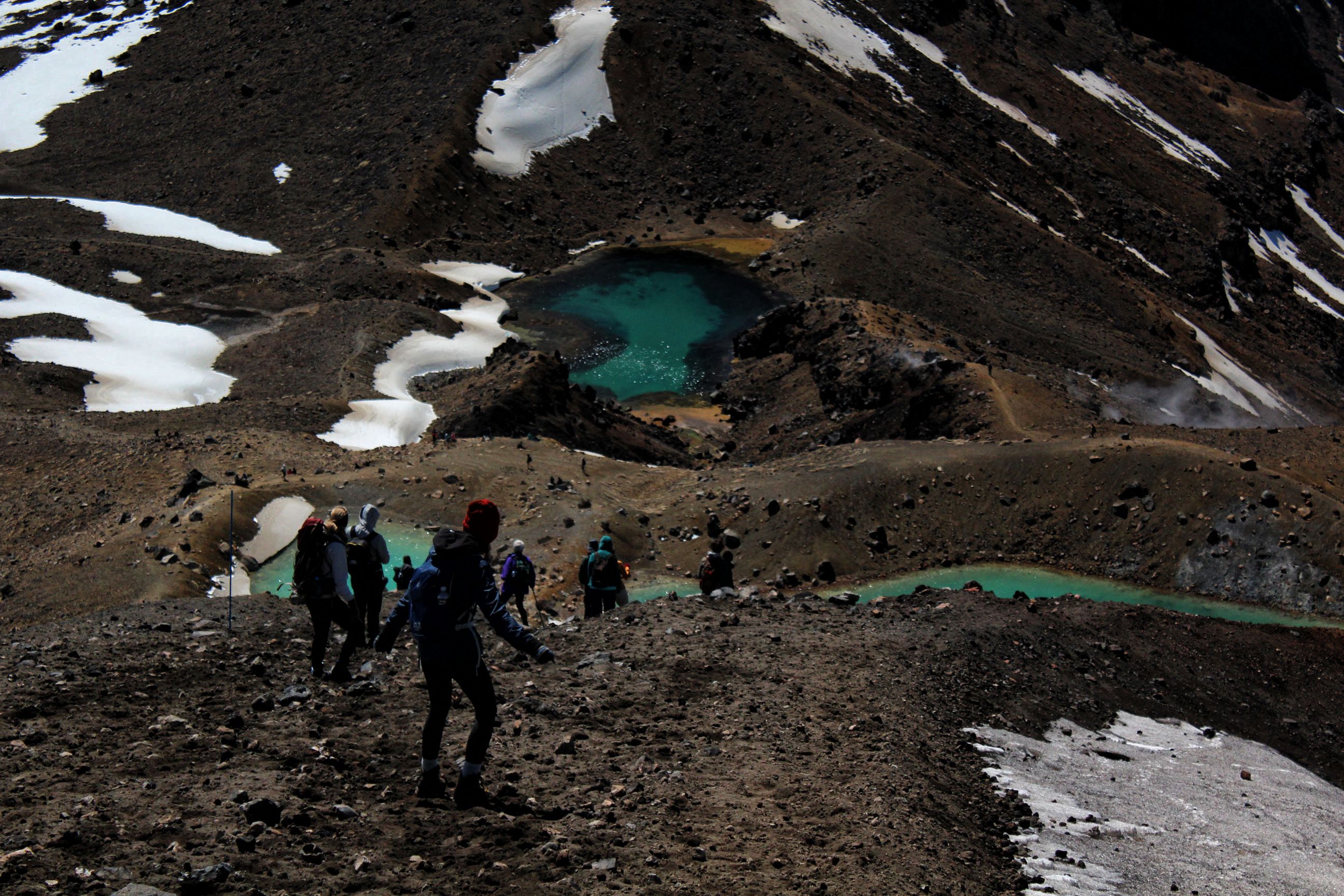
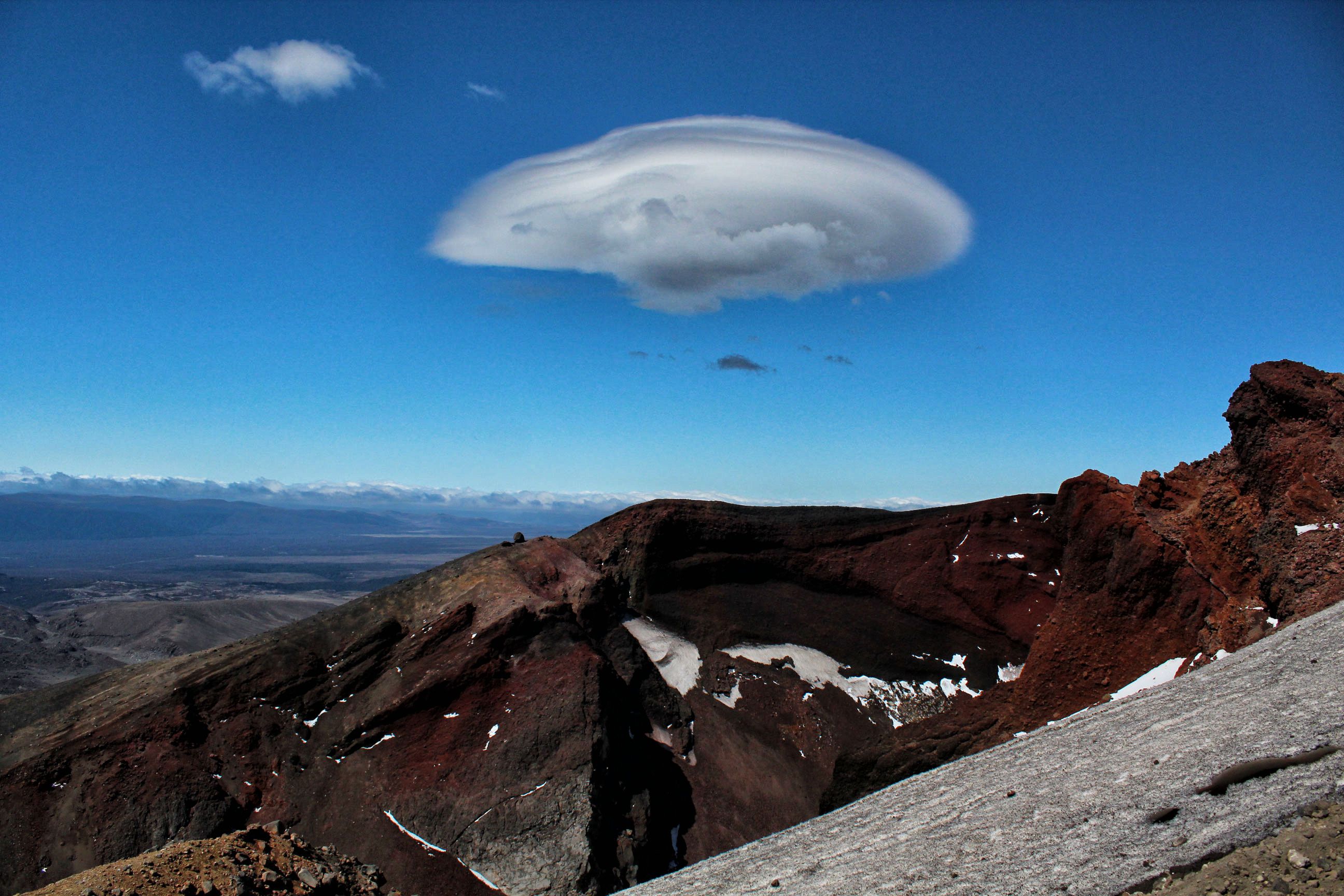
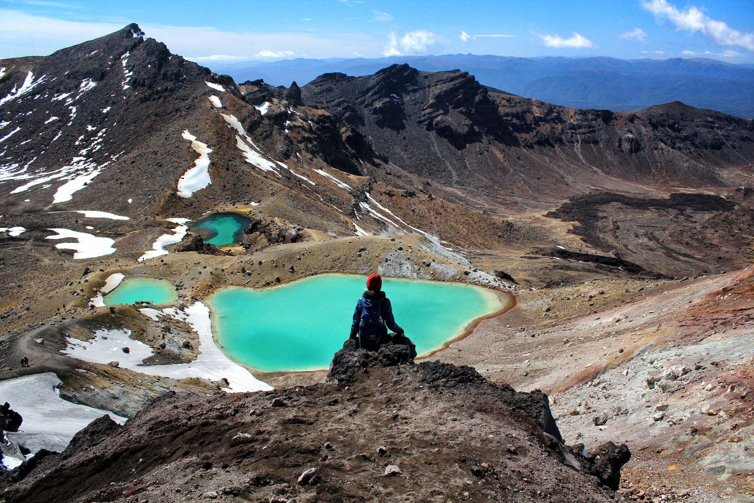
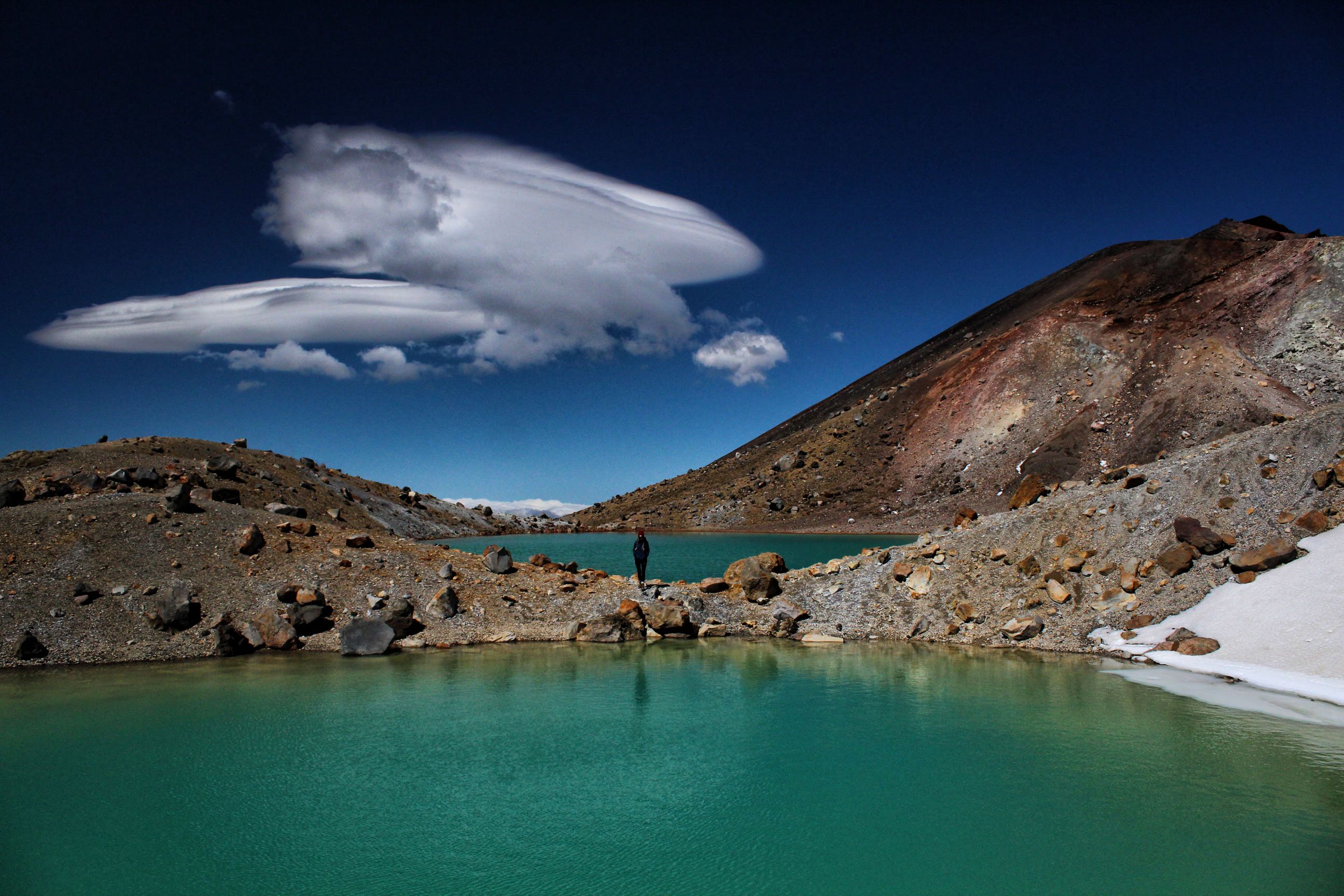
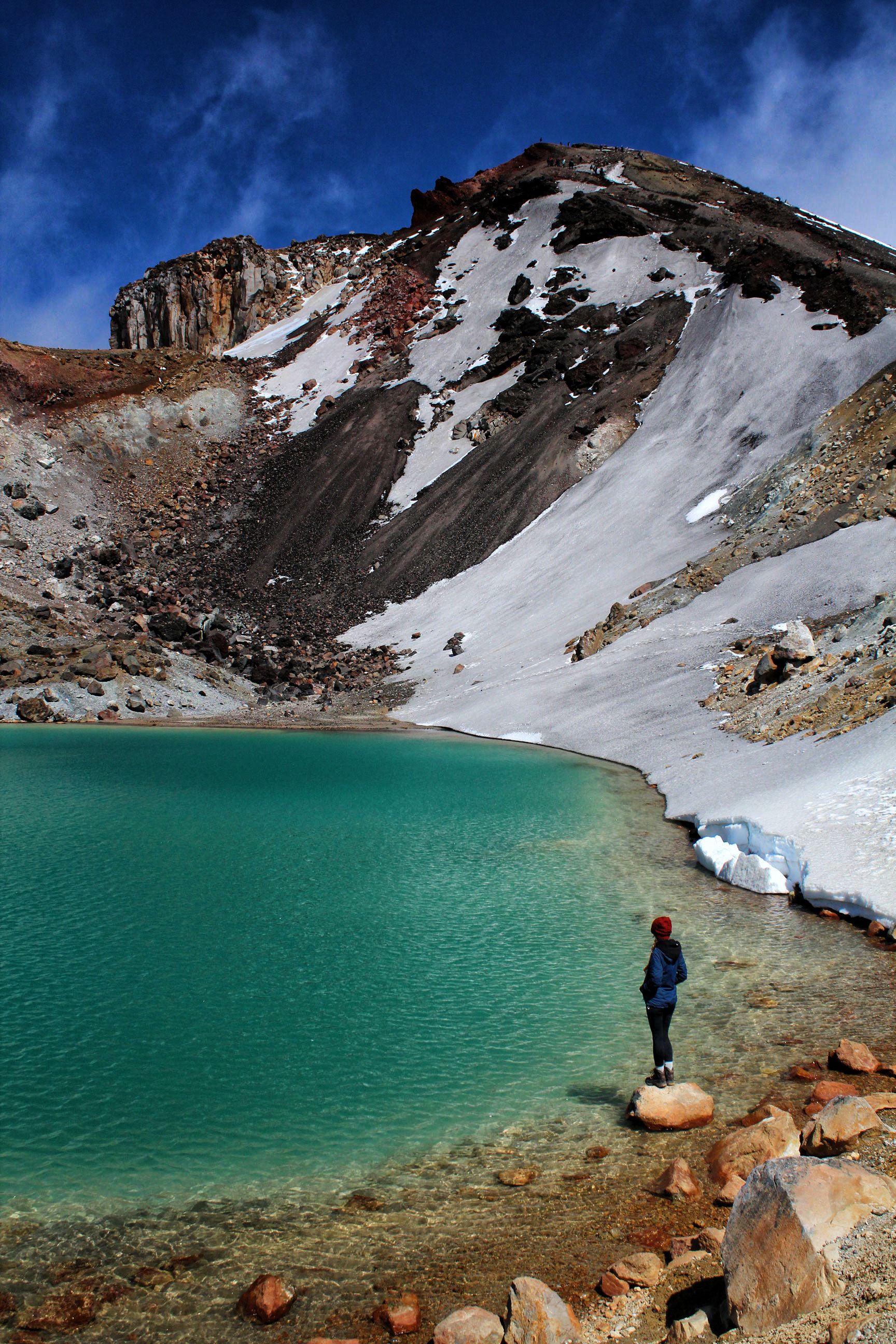
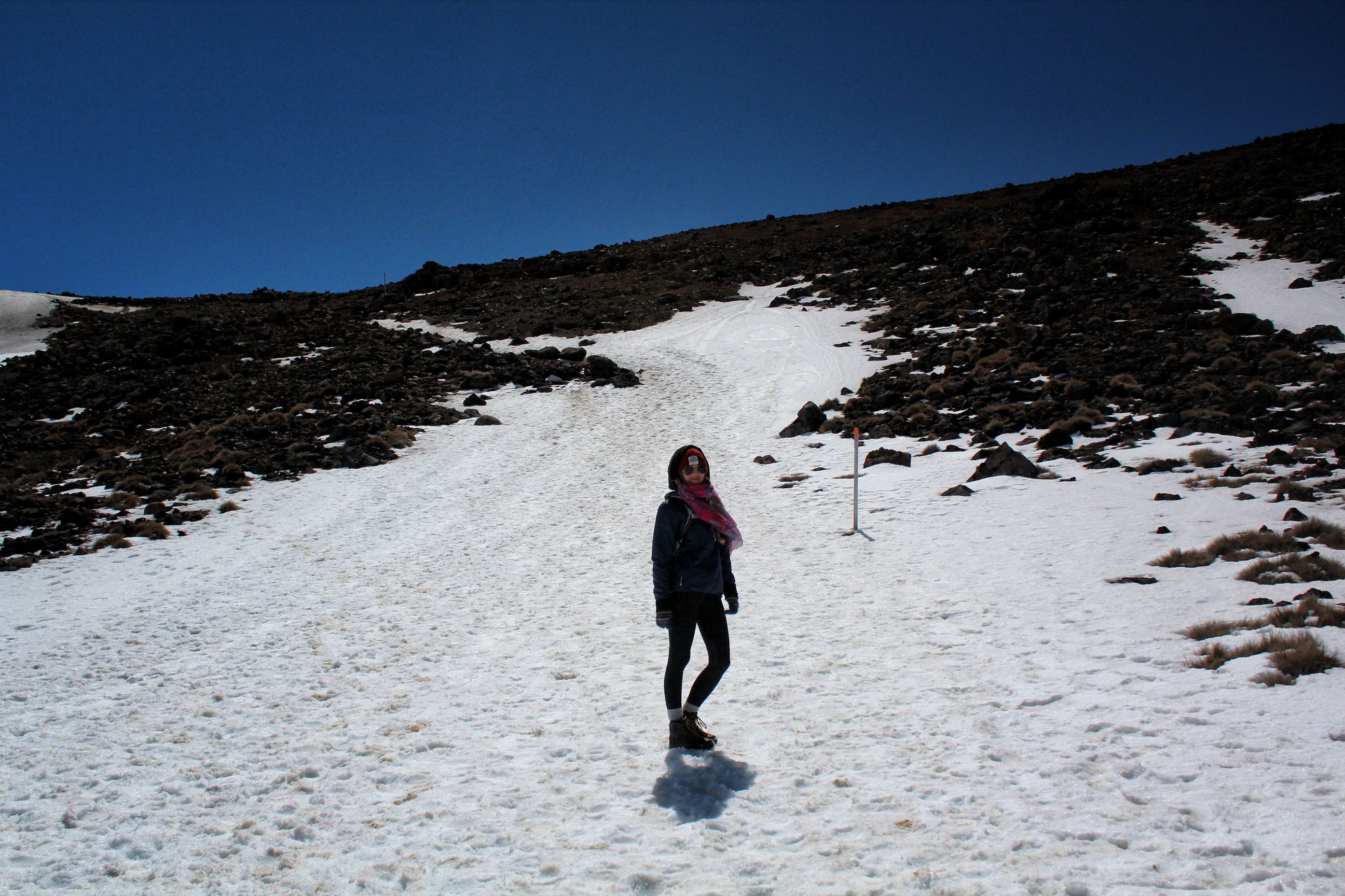
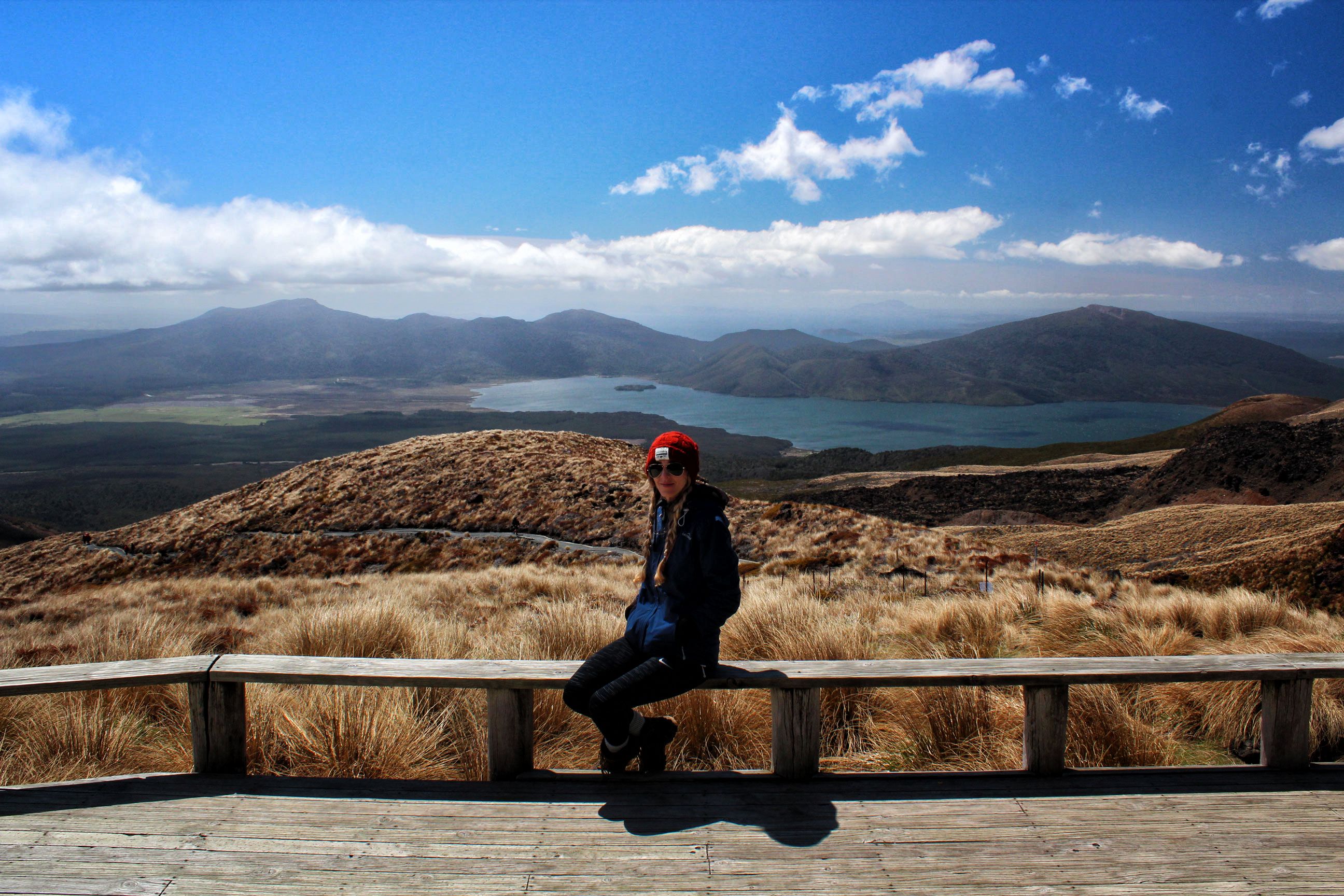
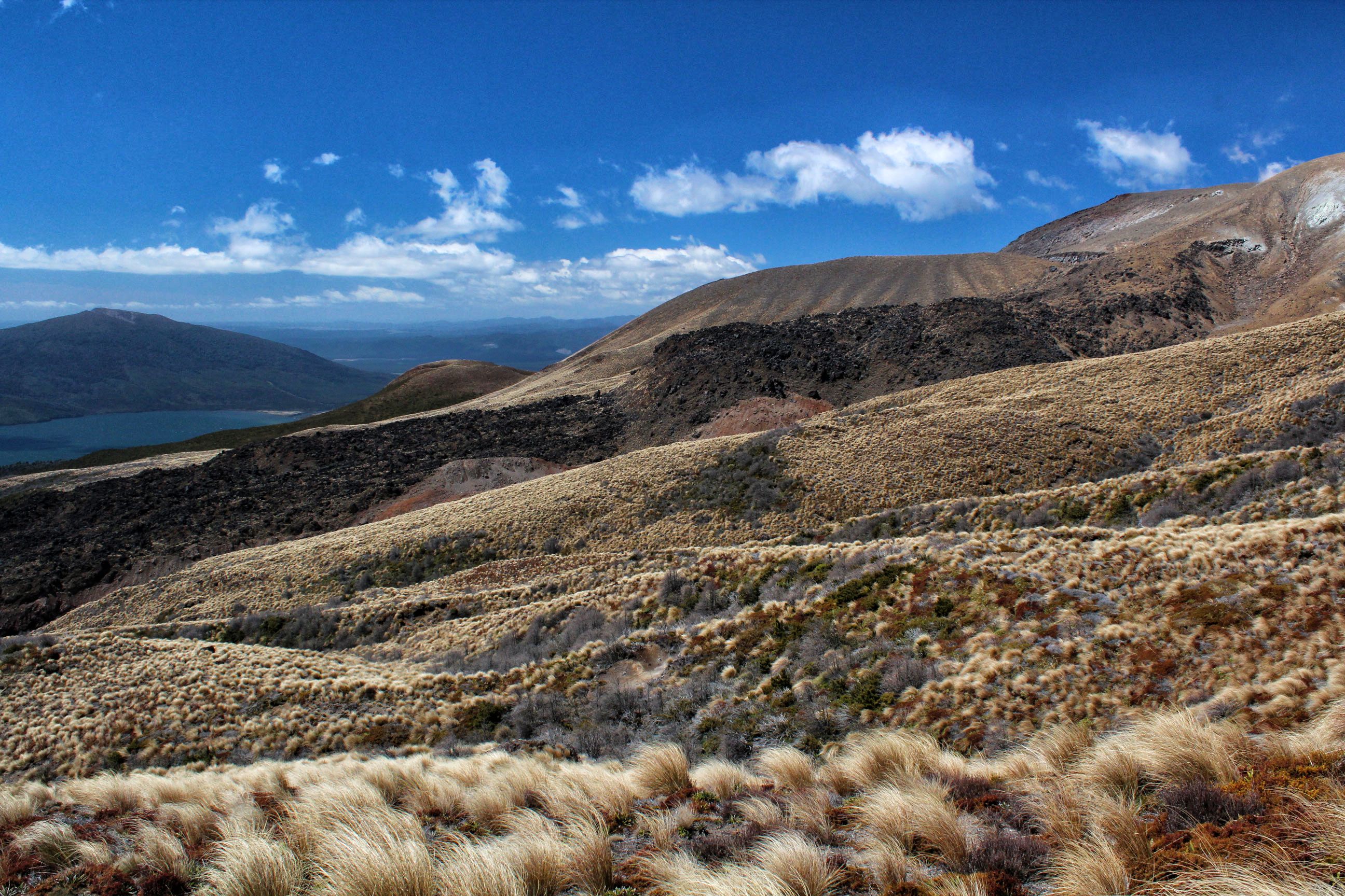
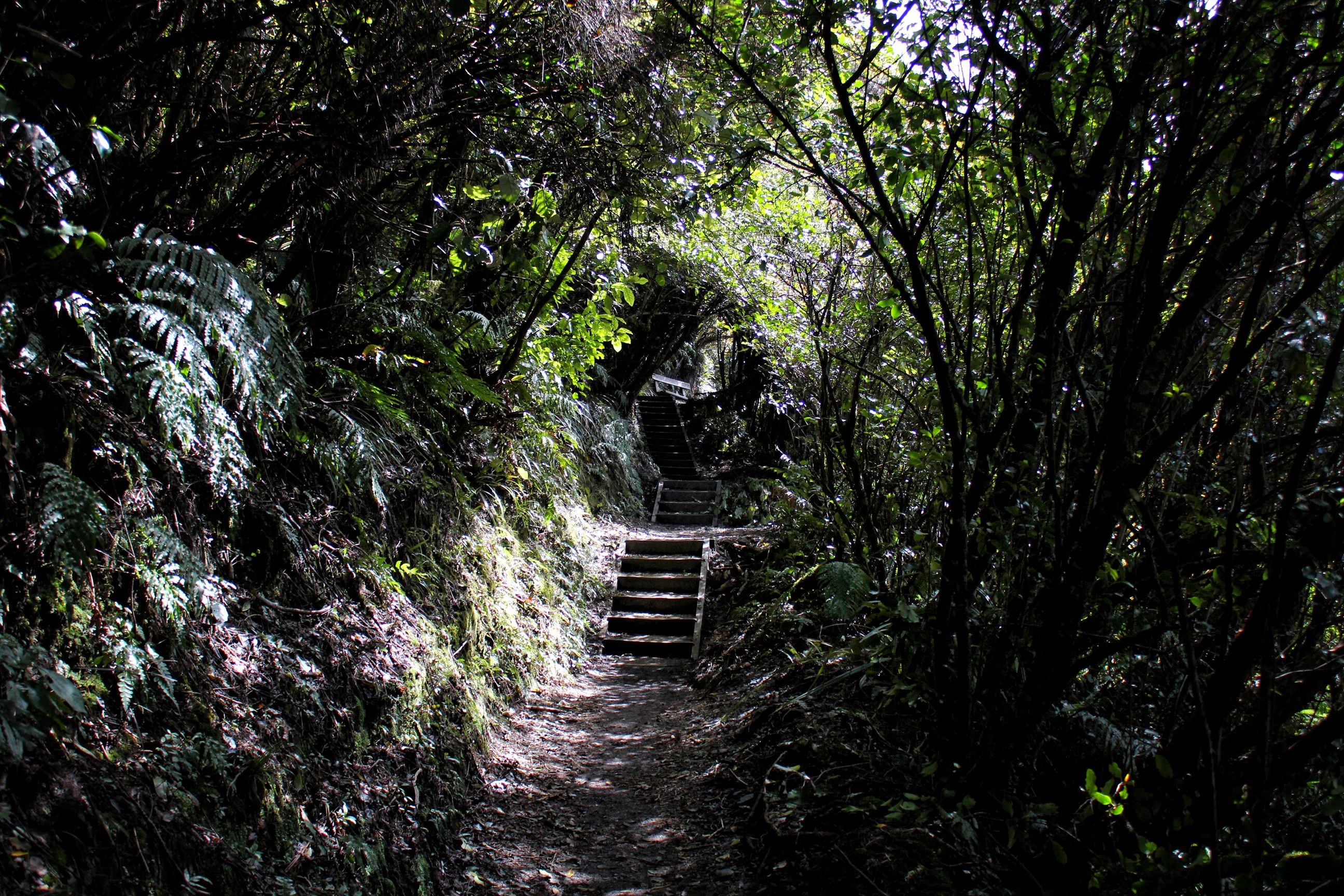
This was the last stage of the climb, where it was incredibly windy.At the top of the crossing, it’s all downhill from here, that is if the wind doesn’t blow us away!On our way back down on the other side, with the Emerald Lakes behind us.The barren Alpine terrain of Tongariro, with Blue Lake in the background.Going down we actually had to slide down the gravel trail in a controlled fall. It actually wasn’t as scary as it sounds.We had a Lenticular cloud keep us company while we descended.Posing in front of the Emerald LakesPosing between the Emerald LakesPosing almost in the Emerald LakesContinuing on the trail, we still had a bit of climbing to do, over snow!The clouds you see in the back, near the ground, are actually gas vapors from the hot springs emerging from the fissures in the ground.As we descended, the terrain changed dramatically, where we could actually count the number of tree lines we would be passing through.It was a leisurely descent, not steep at all, which unfortunately made for numerous switchbacks.After lunch at the Ketetahi Shelter, Dominique’s knees seized up, which made for a very painful experience for the remainder of the hike.Descending through a beautiful tundra-like biome during the last portion of the hike.Right at the end of the hike the trail led through a deep, lush forest.