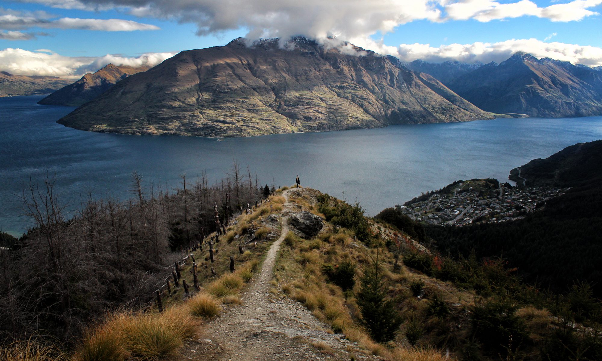
It was time to bid farewell to the North Island of New Zealand. We were sad and excited at the same time: sad not just because we would miss the North Island, but that it also meant that half our New Zealand trip was already over. We were excited to see the South Island from what we heard: more rugged landscapes, taller mountain ranges, wilder forests, windier roads, and terrain and climates that changes so quickly that you can pass from winter to summer in less than an hour.
Which island is better? Not fair to say. Both are great and one shouldn’t pick one over the other. And you know what, both islands have equally windy roads, so end the comparisons now!
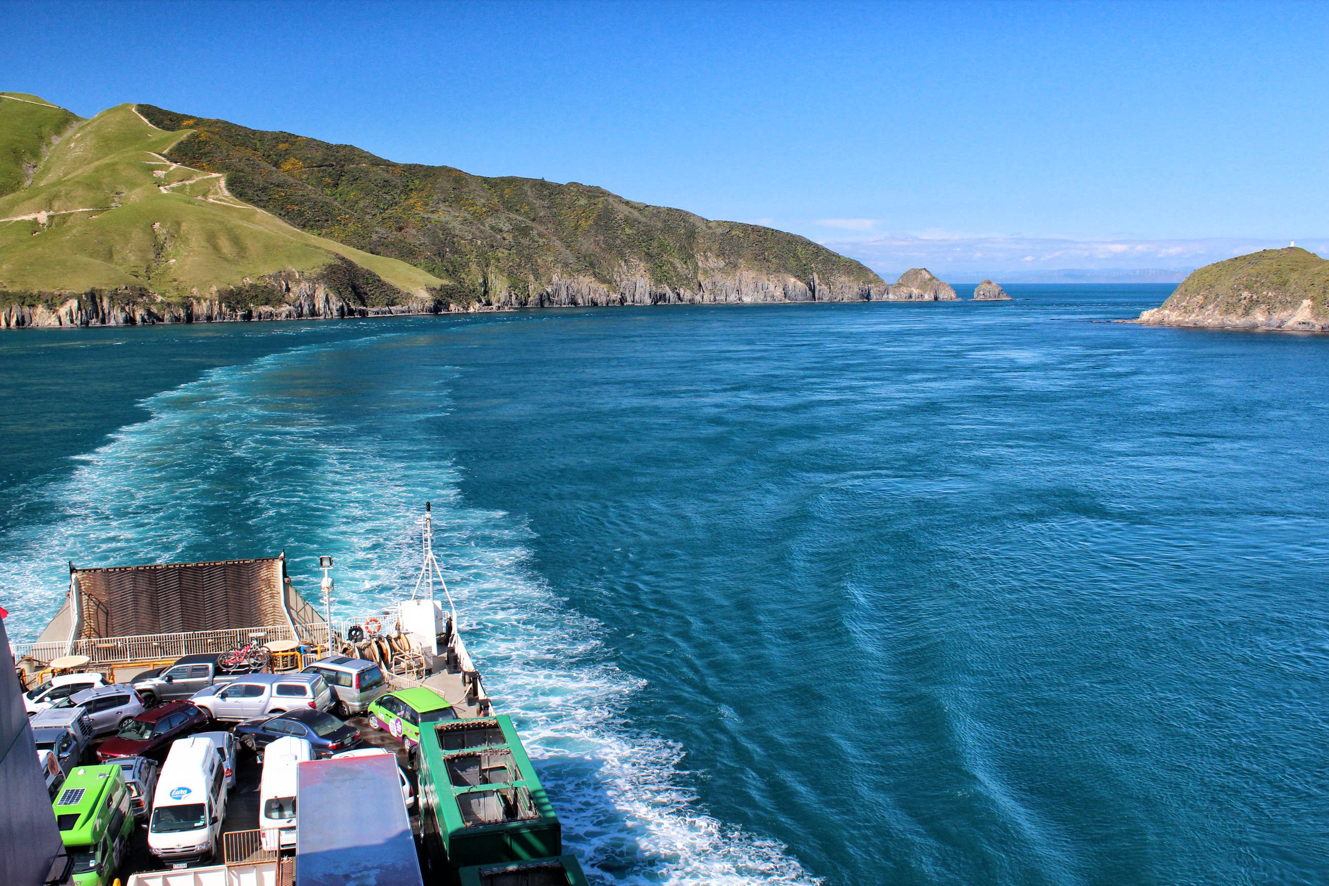
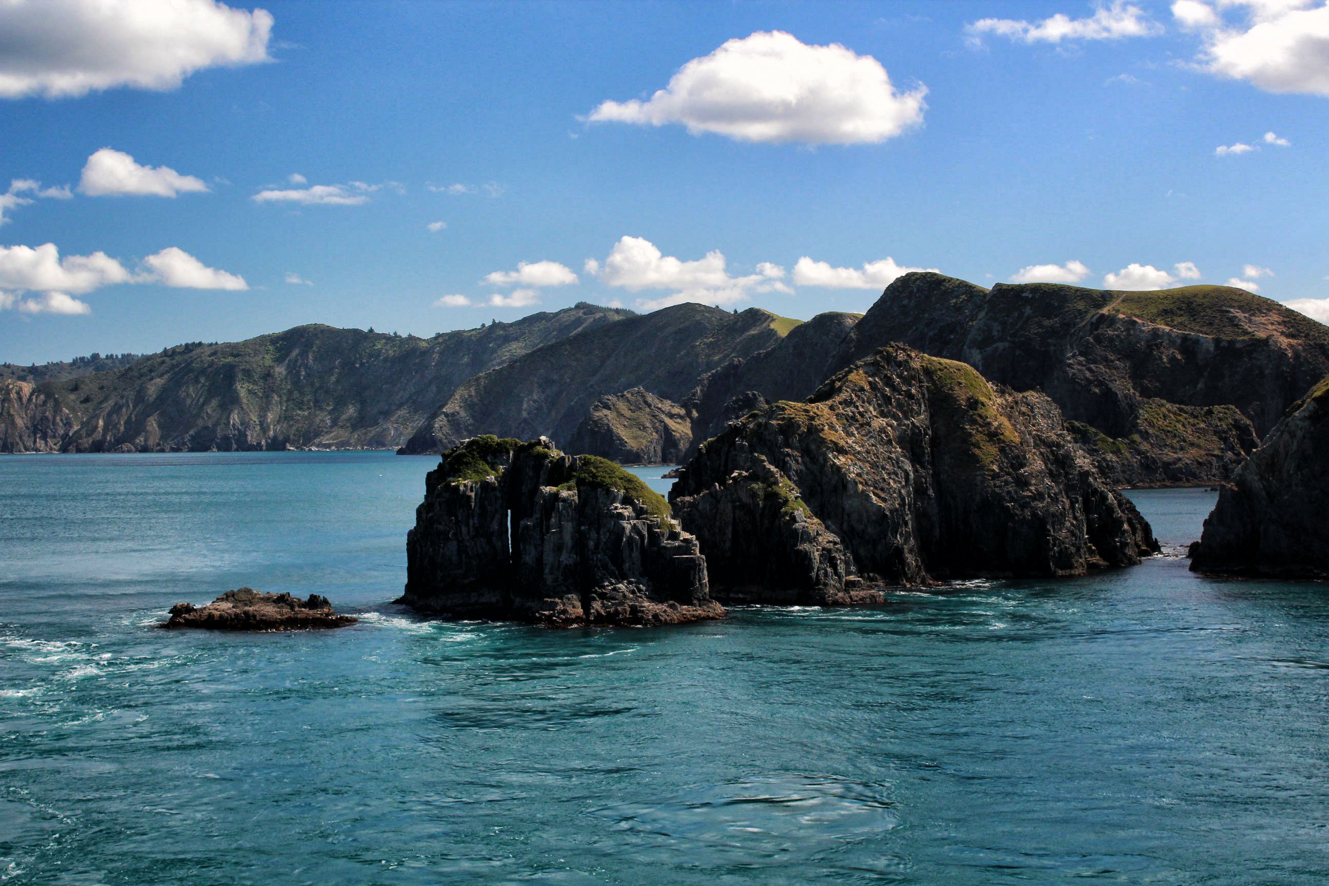
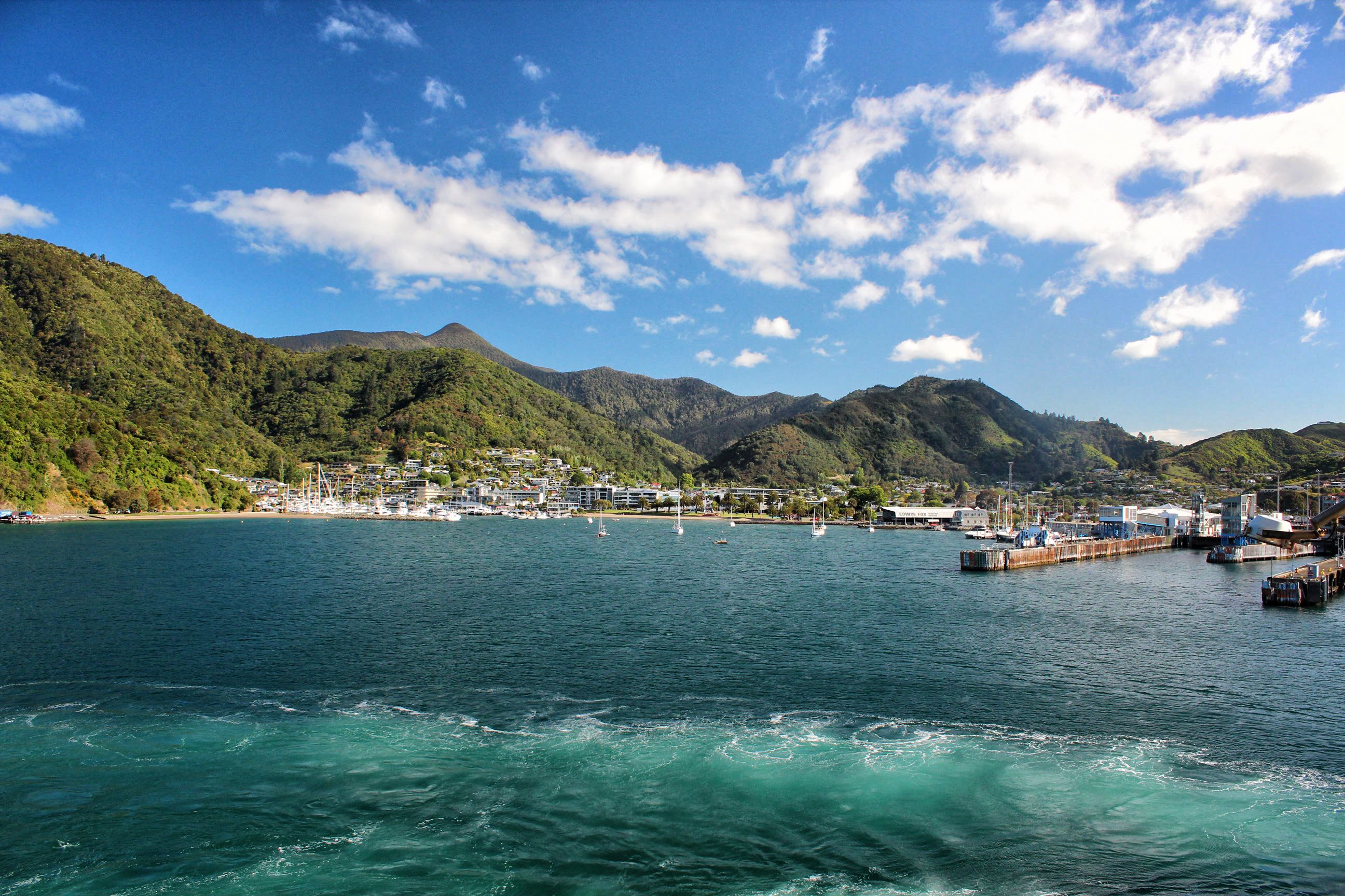
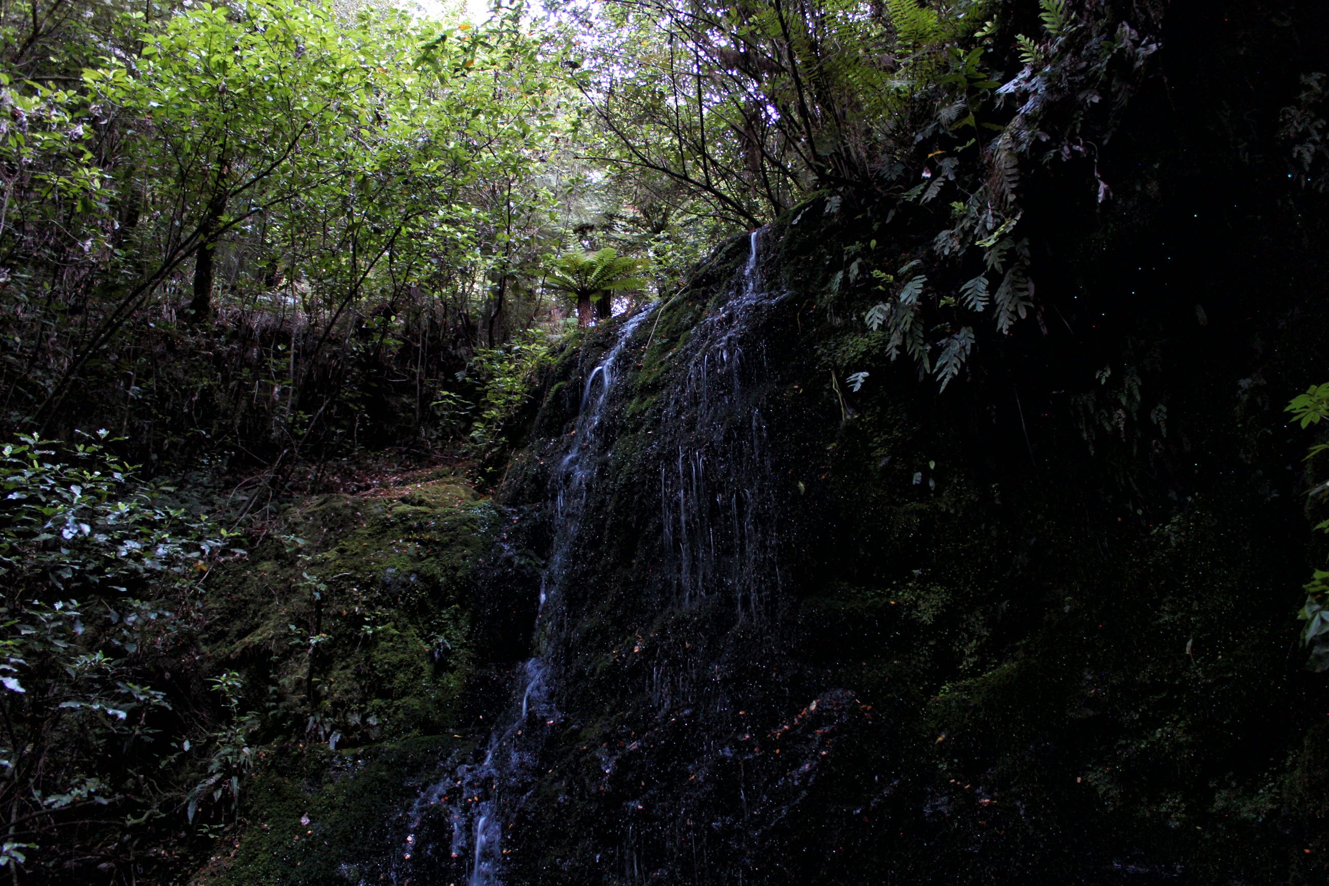
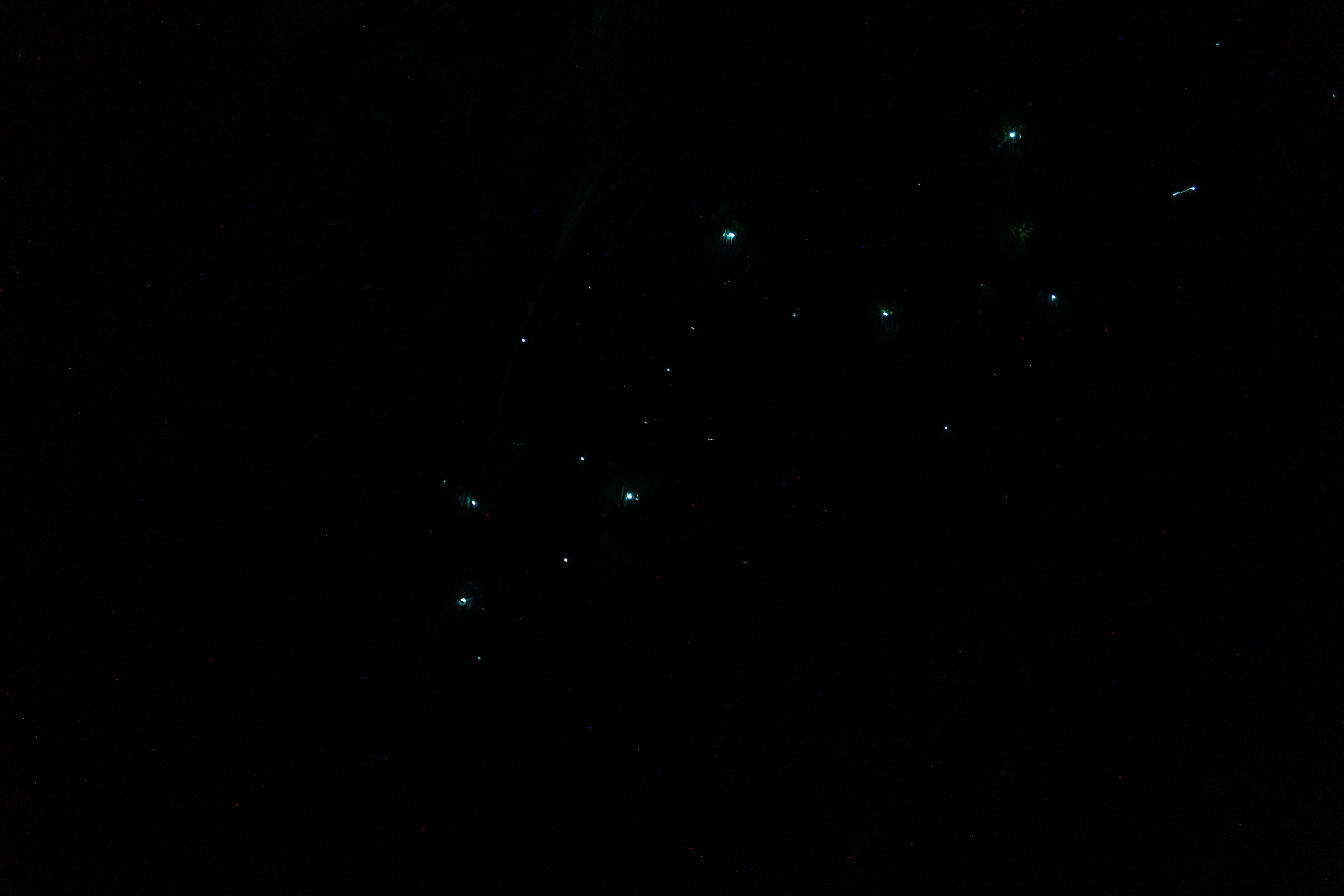
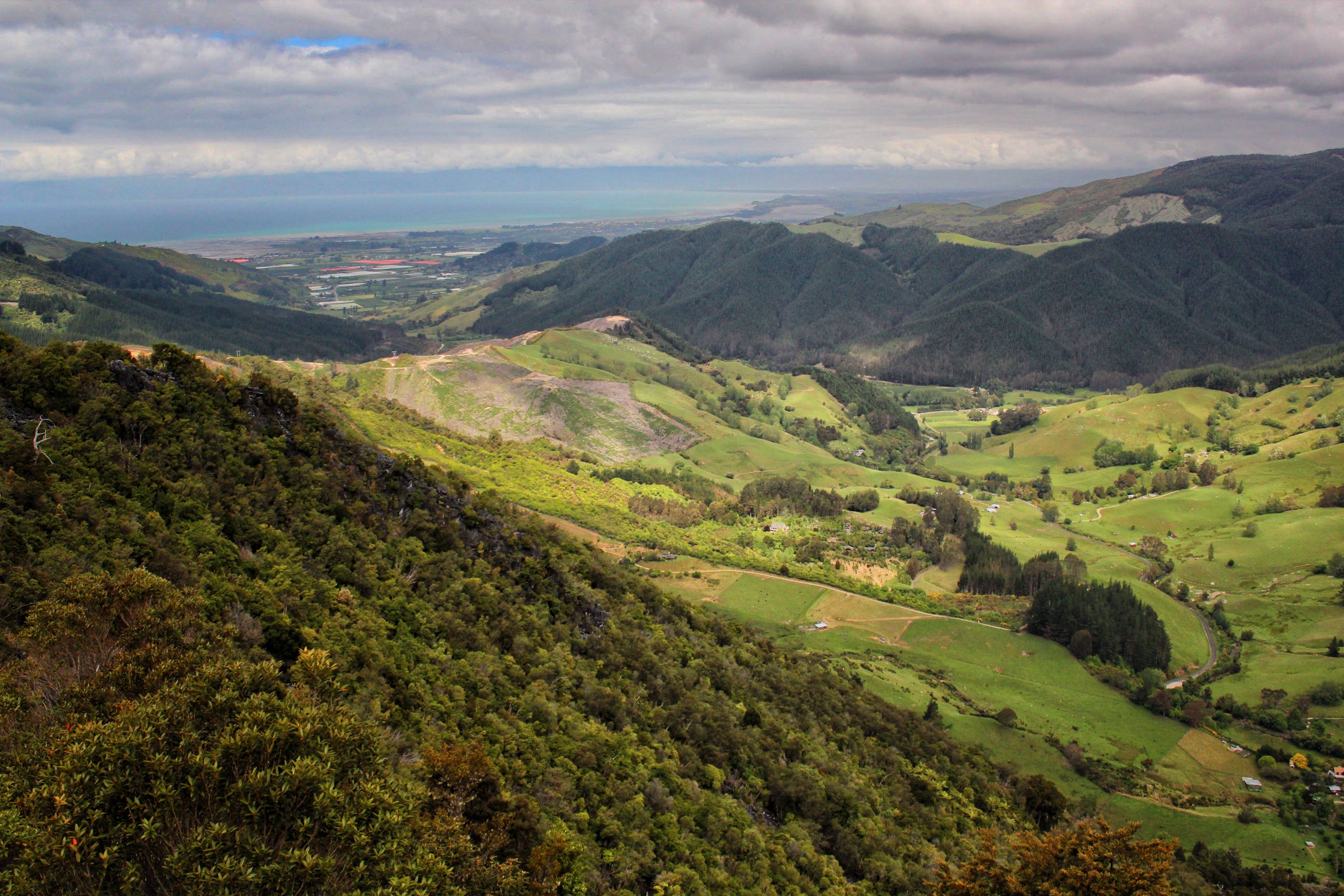
Here’s a shot of the ferry just after it entered Marlborough Sounds, on the North Eastern tip of the South IslandThe sea-drowned valleys of Marlborough Sounds.This is the seaside port of Picton, the first town most people see when arriving by ferry to the south island from Wellington.We camped at a government campsite called Pelorus Bridge. It was located right along the Pelorus River, a beautiful clear river with lots of large rocks that were perfect for hanging out on. We arrived quite late, so we didn’t have much time to explore, however there was a 10 minute trail that led to this little waterfall. If you look closely to the right, you can see some glowworms just underneath the overhang.Here’s a closeup of the glowworms. Being in the middle of a forest next to a waterfall just as it was getting dark made for quite a magical experience.This was Hawkes Lookout, near Takaka Hill. We were headed to Wharariki Beach , which is situated in the North West corner to the South Island, and to get there we had to take a mountain pass over the mountain range that makes up Abel Tasman National Park. Beautiful countryside, and beautiful, windy roads!